Longwood Area, Longwood Postcode & Map in Longwood
Longwood Area, Longwood Postcode & Map in Longwood, Southland District, New Zealand
Longwood, Southland District, New Zealand
Longwood Area (estimated)
10.8 square kilometersLongwood Population (estimated)
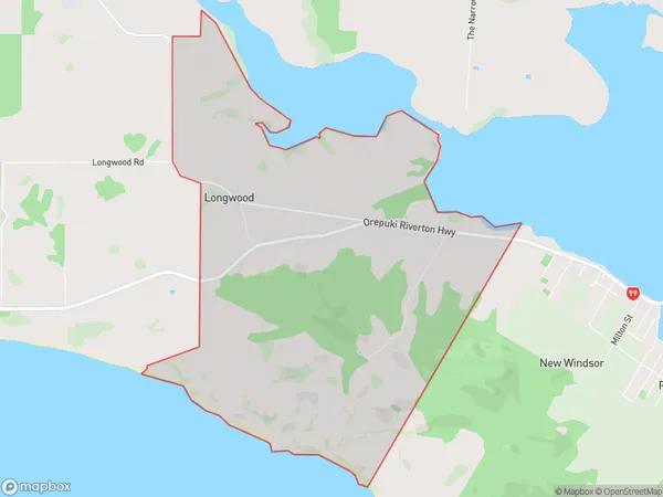
39 people live in Longwood, Tuatapere Te Waewae Community, NZLongwood Suburb Area Map (Polygon)
Longwood Introduction
Longwood is a small rural community in Southland, New Zealand. It is located on the banks of the Aparima River, 12 kilometers south of Riverton and 160 kilometers south of Invercargill. The area was first settled by Europeans in the 1860s and is known for its scenic countryside and historic buildings. Longwood is home to a primary school, a post office, a church, and a few small businesses. The community is surrounded by farmland and forest, and is a popular destination for outdoor activities such as hiking, fishing, and hunting.Region
0Suburb Name
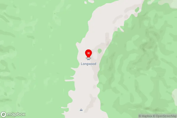
LongwoodLongwood Area Map (Street)
Local Authority
Southland DistrictFull Address
Longwood, Southland District, New ZealandAddress Type
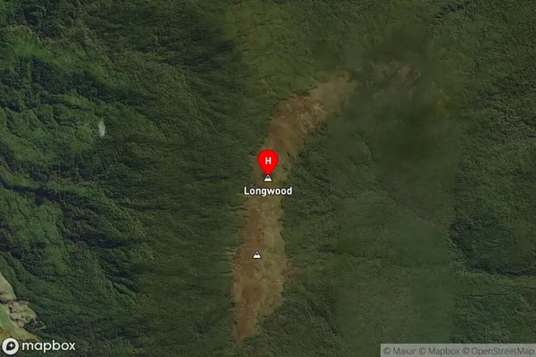
Suburb in Town Riverton/AparimaLongwood Suburb Map (Satellite)
Country
Main Region in AU
SouthlandLongwood Region Map

Coordinates
-46.2488342,167.8391293 (latitude/longitude)Distances
The distance from Longwood, Riverton/Aparima, Southland District to NZ Top 10 Cities