Teal Bay Area, Teal Bay Postcode & Map in Teal Bay
Teal Bay Area, Teal Bay Postcode & Map in Teal Bay, Southland District, New Zealand
Teal Bay, Southland District, New Zealand
Teal Bay Area (estimated)
0.1 square kilometersTeal Bay Population (estimated)
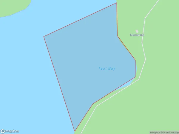
0 people live in Teal Bay, Tuatapere Te Waewae Community, NZTeal Bay Suburb Area Map (Polygon)
Teal Bay Introduction
Teal Bay is a small settlement on the southern coast of New Zealand's Southland region. It is located near the mouth of the Teal River and is known for its stunning coastal scenery and peaceful atmosphere. The area is popular with tourists and outdoor enthusiasts, who enjoy activities such as fishing, hiking, and kayaking. Teal Bay also has a small community with a primary school, a post office, and a convenience store.Region
Major City
Suburb Name
Teal BayOther Name(s)
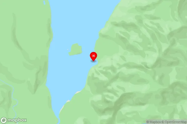
Lake HaurokoTeal Bay Area Map (Street)
Local Authority
Southland DistrictFull Address
Teal Bay, Southland District, New ZealandAddress Type
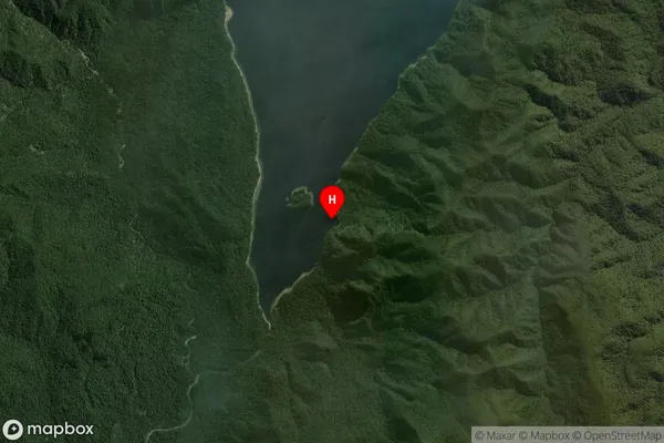
Inland BayTeal Bay Suburb Map (Satellite)
Country
Main Region in AU
SouthlandTeal Bay Region Map

Coordinates
-46.0676489,167.2936725 (latitude/longitude)Distances
The distance from Teal Bay, , Southland District to NZ Top 10 Cities