Teahimate Bay Area, Teahimate Bay Postcode & Map in Teahimate Bay
Teahimate Bay Area, Teahimate Bay Postcode & Map in Teahimate Bay, Area outside Territorial Authority, New Zealand
Teahimate Bay, Area outside Territorial Authority, New Zealand
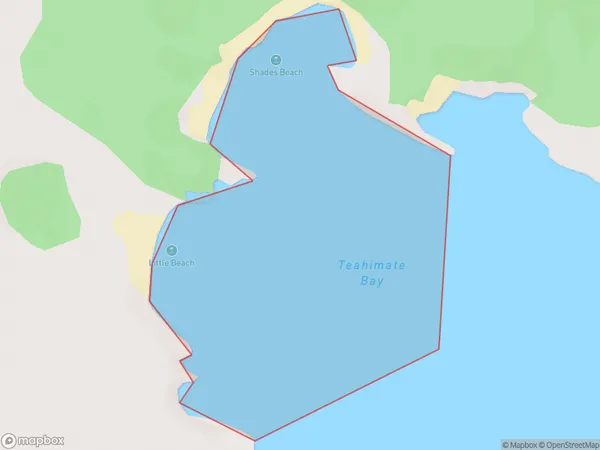
Teahimate Bay Area (estimated)
0.4 square kilometersTeahimate Bay Population (estimated)
0 people live in Teahimate Bay, Southland, NZTeahimate Bay Suburb Area Map (Polygon)
Teahimate Bay Introduction
Teahimate Bay is a small, sheltered bay located in Fiordland National Park in Southland, New Zealand. It is known for its stunning natural beauty, including towering mountain peaks, lush rainforests, and crystal-clear waters. The bay is a popular spot for hiking, camping, and fishing, and it is home to a variety of wildlife, including kea, fur seals, and dolphins.Region
Suburb Name
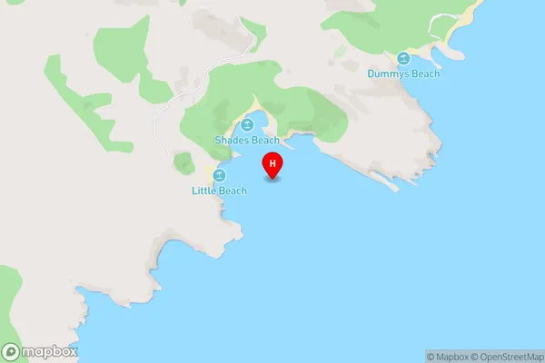
Teahimate BayTeahimate Bay Area Map (Street)
Local Authority
Area outside Territorial AuthorityFull Address
Teahimate Bay, Area outside Territorial Authority, New ZealandAddress Type
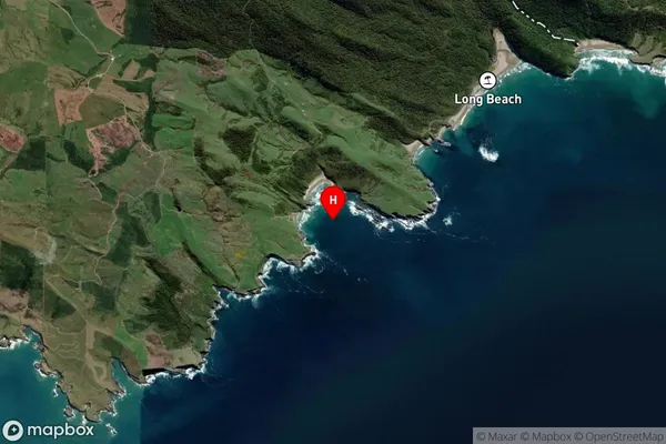
Coastal BayTeahimate Bay Suburb Map (Satellite)
Country
Main Region in AU
SouthlandTeahimate Bay Region Map

Coordinates
-46.6412009,169.2411172 (latitude/longitude)Distances
The distance from Teahimate Bay, , Area outside Territorial Authority to NZ Top 10 Cities