Te Whero Bay Area, Te Whero Bay Postcode(4108) & Map in Te Whero Bay
Te Whero Bay Area, Te Whero Bay Postcode(4108) & Map in Te Whero Bay, Wairoa District, New Zealand
Te Whero Bay, Wairoa District, New Zealand
Te Whero Bay Postcodes
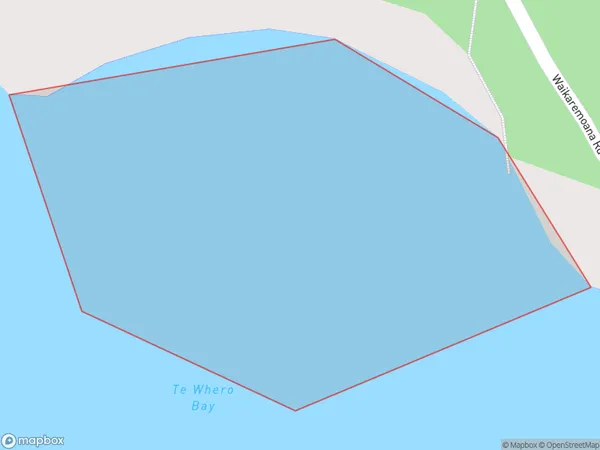
Te Whero Bay Area (estimated)
0.1 square kilometersTe Whero Bay Population (estimated)
0 people live in Te Whero Bay, Hawke's Bay, NZTe Whero Bay Suburb Area Map (Polygon)
Te Whero Bay Introduction
Te Whero Bay is a popular beach destination in Hawke's Bay, New Zealand. It is known for its clear waters, sandy beaches, and stunning coastal scenery. The bay is also home to a historic pa site, Te Papa-o-Te-Rangi, which is a significant cultural and historical site for the local Māori people. Visitors can explore the museum, view ancient artifacts, and learn about the region's rich history and culture.Region
Suburb Name
Te Whero BayOther Name(s)
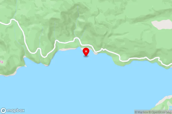
Lake WaikaremoanaTe Whero Bay Area Map (Street)
Local Authority
Wairoa DistrictFull Address
Te Whero Bay, Wairoa District, New ZealandAddress Type
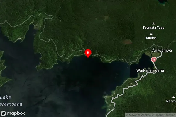
Inland BayTe Whero Bay Suburb Map (Satellite)
Country
Main Region in AU
Hawke's BayTe Whero Bay Region Map

Coordinates
-38.7486002,177.1196994 (latitude/longitude)Distances
The distance from Te Whero Bay, , Wairoa District to NZ Top 10 Cities