Te Waharoa Area, Te Waharoa Postcode(1148) & Map in Te Waharoa
Te Waharoa Area, Te Waharoa Postcode(1148) & Map in Te Waharoa, Auckland, New Zealand
Te Waharoa, Auckland, New Zealand
Te Waharoa Postcodes
Te Waharoa Area (estimated)
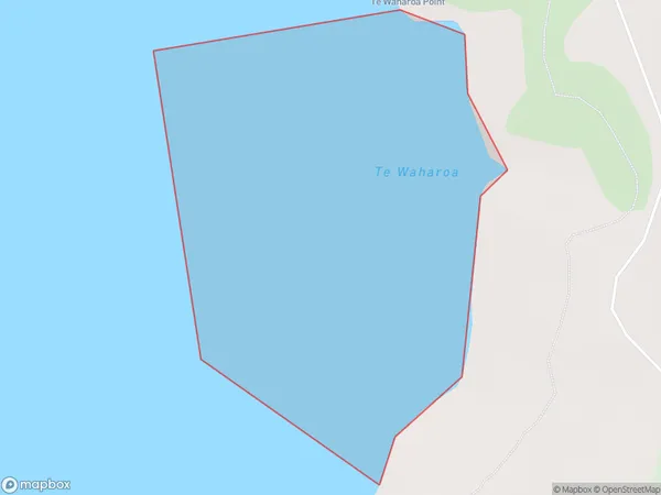
0.3 square kilometersTe Waharoa Population (estimated)
0 people live in Te Waharoa, Rodney, NZTe Waharoa Suburb Area Map (Polygon)
Te Waharoa Introduction
Te Waharoa is a small rural community located in the Rodney District of Auckland, New Zealand. It is known for its beautiful natural surroundings, including the Te Waharoa Estuary and the surrounding forests. The community has a strong sense of community and a rich cultural heritage, with many residents participating in traditional Maori practices and events. The area is also home to a number of popular tourist attractions, including the Te Waharoa Ora Kai Charitable Trust and the Te Waharoa Farm Park.Region
Major City
Suburb Name
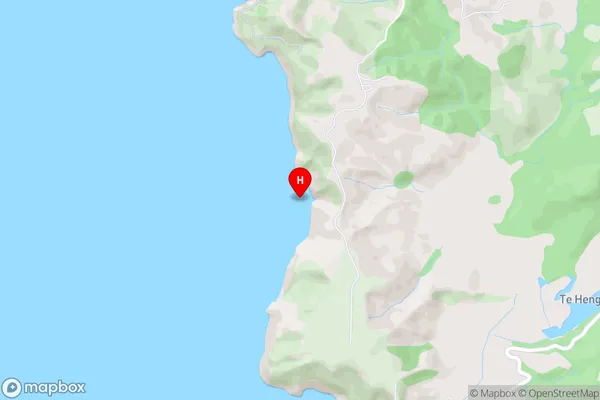
Te WaharoaTe Waharoa Area Map (Street)
Local Authority
AucklandFull Address
Te Waharoa, Auckland, New ZealandAddress Type
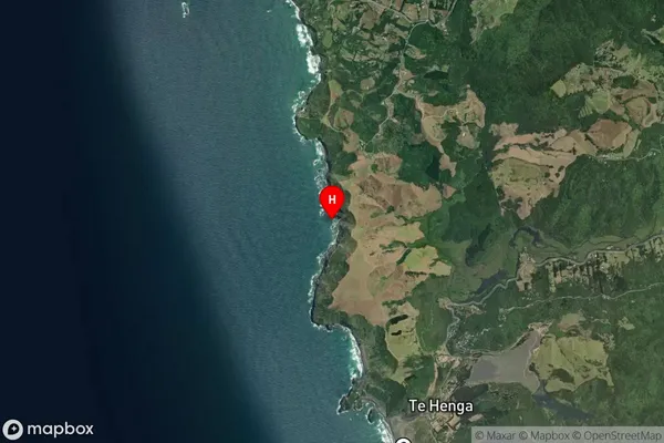
Coastal BayTe Waharoa Suburb Map (Satellite)
Country
Main Region in AU
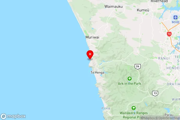
AucklandTe Waharoa Region Map
Coordinates
-36.8667894,174.4334213 (latitude/longitude)Distances
The distance from Te Waharoa, , Auckland to NZ Top 10 Cities