Longlands Area, Longlands Postcode(4174) & Map in Longlands
Longlands Area, Longlands Postcode(4174) & Map in Longlands, Hastings District, New Zealand
Longlands, Hastings District, New Zealand
Longlands Area (estimated)
28.4 square kilometersLonglands Population (estimated)
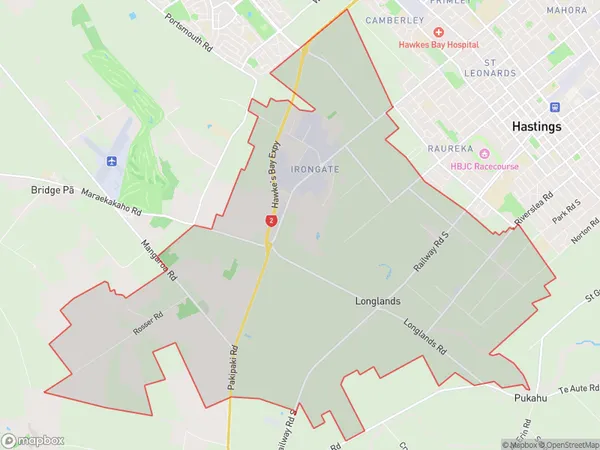
1436 people live in Longlands, Hastings, NZLonglands Suburb Area Map (Polygon)
Longlands Introduction
Longlands is a small rural community in Hastings, Hawke's Bay, New Zealand. It is located on State Highway 2, approximately 10 kilometers south of Hastings city center. The area is known for its fertile soil and picturesque countryside, and is home to a variety of agricultural businesses, including fruit and vegetable farming. Longlands also has a historic church and a community hall, which are used for local events and gatherings.Region
Major City
Suburb Name
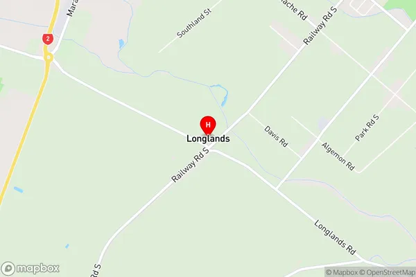
LonglandsLonglands Area Map (Street)
Local Authority
Hastings DistrictFull Address
Longlands, Hastings District, New ZealandAddress Type
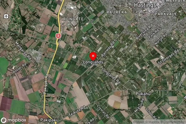
Suburb in City HastingsLonglands Suburb Map (Satellite)
Country
Main Region in AU
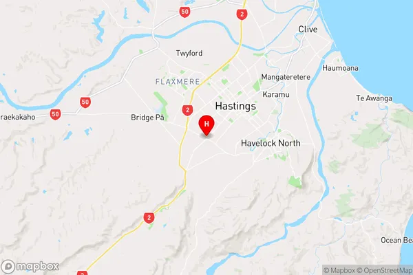
Hawke's BayLonglands Region Map
Coordinates
-39.6660863,176.8143296 (latitude/longitude)Distances
The distance from Longlands, Hastings, Hastings District to NZ Top 10 Cities