Te Towaka Bay / Burnside Bay Area, Te Towaka Bay / Burnside Bay Postcode & Map in Te Towaka Bay / Burnside Bay
Te Towaka Bay / Burnside Bay Area, Te Towaka Bay / Burnside Bay Postcode & Map in Te Towaka Bay / Burnside Bay, Marlborough District, New Zealand
Te Towaka Bay / Burnside Bay, Marlborough District, New Zealand
Te Towaka Bay / Burnside Bay Area (estimated)
0.2 square kilometersTe Towaka Bay / Burnside Bay Population (estimated)
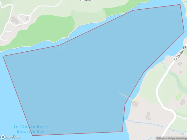
0 people live in Te Towaka Bay / Burnside Bay, Marlborough, NZTe Towaka Bay / Burnside Bay Suburb Area Map (Polygon)
Te Towaka Bay / Burnside Bay Introduction
Te Towaka Bay / Burnside Bay is a picturesque beach located in Marlborough, New Zealand. It is known for its crystal-clear waters, stunning sunsets, and peaceful surroundings. The bay is a popular spot for swimming, kayaking, and fishing, and it is surrounded by lush green hills and vineyards. It is also home to a small community of residents who enjoy the relaxed lifestyle and natural beauty of the area.Region
Suburb Name
Te Towaka Bay / Burnside Bay (Maori Name: Te Tōwaka Bay / Burnside Bay)Other Name(s)
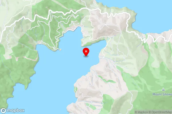
Hallam Cove, Tawhitinui Reach, Burnside Bay, Te Towaka BayTe Towaka Bay / Burnside Bay Area Map (Street)
Local Authority
Marlborough DistrictFull Address
Te Towaka Bay / Burnside Bay, Marlborough District, New ZealandAddress Type
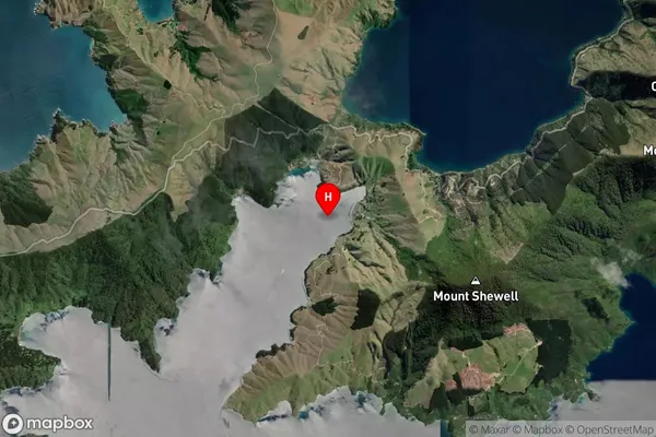
Coastal BayTe Towaka Bay / Burnside Bay Suburb Map (Satellite)
Country
Main Region in AU
MarlboroughTe Towaka Bay / Burnside Bay Region Map

Coordinates
-40.9954311,173.8299248 (latitude/longitude)Distances
The distance from Te Towaka Bay / Burnside Bay, , Marlborough District to NZ Top 10 Cities