Te Tawa Bay Area, Te Tawa Bay Postcode(3330) & Map in Te Tawa Bay
Te Tawa Bay Area, Te Tawa Bay Postcode(3330) & Map in Te Tawa Bay, Taupo District, New Zealand
Te Tawa Bay, Taupo District, New Zealand
Te Tawa Bay Postcodes
Te Tawa Bay Area (estimated)
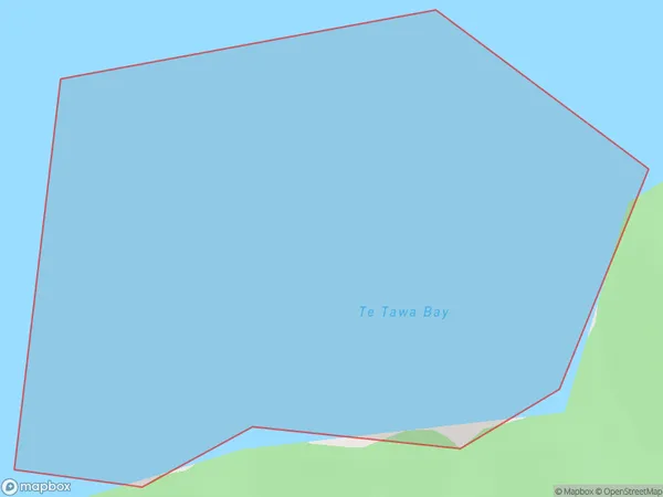
0.5 square kilometersTe Tawa Bay Population (estimated)
0 people live in Te Tawa Bay, Waikato, NZTe Tawa Bay Suburb Area Map (Polygon)
Te Tawa Bay Introduction
Te Tawa Bay is a popular beach in Waikato, New Zealand. It is known for its wide sandy beach, stunning sunsets, and clear waters. The bay is a popular spot for swimming, surfing, and fishing, and has a range of accommodation options nearby. It is also home to a large colony of seabirds, including terns and gulls.Region
Suburb Name
Te Tawa BayOther Name(s)
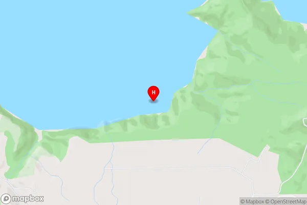
Western Bay, Lake Taupo (Taupomoana)Te Tawa Bay Area Map (Street)
Local Authority
Taupo DistrictFull Address
Te Tawa Bay, Taupo District, New ZealandAddress Type
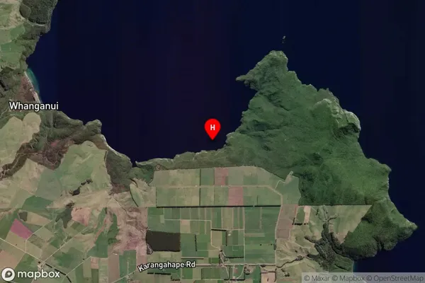
Inland BayTe Tawa Bay Suburb Map (Satellite)
Country
Main Region in AU
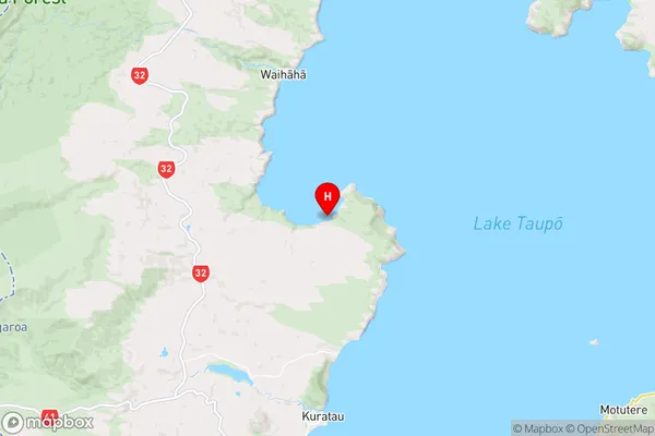
WaikatoTe Tawa Bay Region Map
Coordinates
-38.7932836,175.7746264 (latitude/longitude)Distances
The distance from Te Tawa Bay, , Taupo District to NZ Top 10 Cities