Te Rata Bay Area, Te Rata Bay Postcode(4108) & Map in Te Rata Bay
Te Rata Bay Area, Te Rata Bay Postcode(4108) & Map in Te Rata Bay, Wairoa District, New Zealand
Te Rata Bay, Wairoa District, New Zealand
Te Rata Bay Postcodes
Te Rata Bay Area (estimated)
0.1 square kilometersTe Rata Bay Population (estimated)
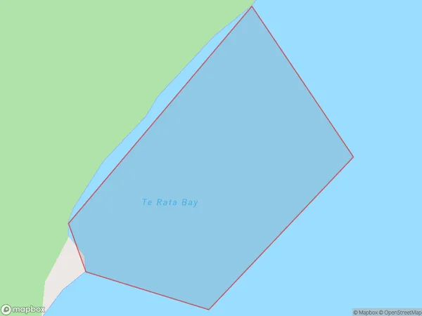
0 people live in Te Rata Bay, Hawke's Bay, NZTe Rata Bay Suburb Area Map (Polygon)
Te Rata Bay Introduction
Te Rata Bay is a picturesque beach located in Hawke's Bay, New Zealand. It is known for its golden sand, crystal-clear waters, and stunning coastal views. The bay is a popular spot for swimming, sunbathing, and fishing, and it is surrounded by native bush and farmland. It is also home to the Te Rata Pohara, a historic Maori settlement that dates back to the 13th century.Region
Suburb Name
Te Rata BayOther Name(s)
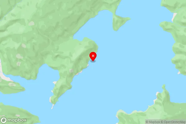
Wairaomoana (Wairau Arm), Lake WaikaremoanaTe Rata Bay Area Map (Street)
Local Authority
Wairoa DistrictFull Address
Te Rata Bay, Wairoa District, New ZealandAddress Type
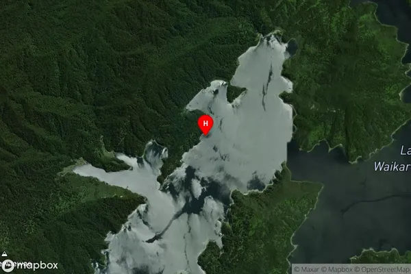
Inland BayTe Rata Bay Suburb Map (Satellite)
Country
Main Region in AU
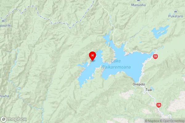
Hawke's BayTe Rata Bay Region Map
Coordinates
-38.7636201,177.0193356 (latitude/longitude)Distances
The distance from Te Rata Bay, , Wairoa District to NZ Top 10 Cities