Te Rangiharu Bay Area, Te Rangiharu Bay Postcode & Map in Te Rangiharu Bay
Te Rangiharu Bay Area, Te Rangiharu Bay Postcode & Map in Te Rangiharu Bay, Area outside Territorial Authority, New Zealand
Te Rangiharu Bay, Area outside Territorial Authority, New Zealand
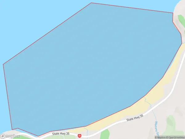
Te Rangiharu Bay Area (estimated)
2.4 square kilometersTe Rangiharu Bay Population (estimated)
0 people live in Te Rangiharu Bay, Bay of Plenty, NZTe Rangiharu Bay Suburb Area Map (Polygon)
Te Rangiharu Bay Introduction
Te Rangiharu Bay is located in the Bay of Plenty, New Zealand. It is a popular destination for swimming, fishing, and kayaking due to its clear waters and stunning natural surroundings. The bay is also home to a small community of residents and a historic pa site.Region
Suburb Name
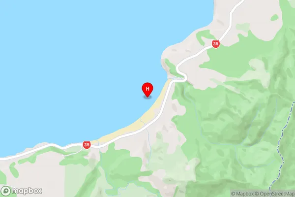
Te Rangiharu BayTe Rangiharu Bay Area Map (Street)
Local Authority
Area outside Territorial AuthorityFull Address
Te Rangiharu Bay, Area outside Territorial Authority, New ZealandAddress Type
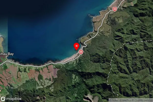
Coastal BayTe Rangiharu Bay Suburb Map (Satellite)
Country
Main Region in AU
Bay of PlentyTe Rangiharu Bay Region Map

Coordinates
-37.6126034,177.9546132 (latitude/longitude)Distances
The distance from Te Rangiharu Bay, , Area outside Territorial Authority to NZ Top 10 Cities