Te Raeotepapa Bay Area, Te Raeotepapa Bay Postcode(3385) & Map in Te Raeotepapa Bay
Te Raeotepapa Bay Area, Te Raeotepapa Bay Postcode(3385) & Map in Te Raeotepapa Bay, Taupo District, New Zealand
Te Raeotepapa Bay, Taupo District, New Zealand
Te Raeotepapa Bay Postcodes
Te Raeotepapa Bay Area (estimated)
0.7 square kilometersTe Raeotepapa Bay Population (estimated)
0 people live in Te Raeotepapa Bay, Waikato, NZTe Raeotepapa Bay Suburb Area Map (Polygon)
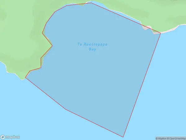
Te Raeotepapa Bay Introduction
Te Raeotepapa Bay is a small, shallow bay located in the Waikato region of New Zealand. It is known for its clear waters and stunning coastal scenery, including rugged cliffs, picturesque beaches, and lush green forests. The bay is a popular spot for swimming, kayaking, and fishing, and is home to a variety of marine life, including dolphins, seals, and penguins. It is also a significant archaeological site, with numerous ancient Māori settlements and burial sites located along its shores.Region
Suburb Name
Te Raeotepapa BayOther Name(s)
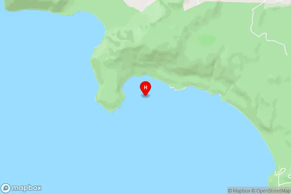
Lake Taupo (Taupomoana)Te Raeotepapa Bay Area Map (Street)
Local Authority
Taupo DistrictFull Address
Te Raeotepapa Bay, Taupo District, New ZealandAddress Type
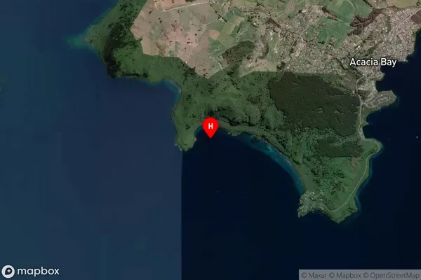
Inland BayTe Raeotepapa Bay Suburb Map (Satellite)
Country
Main Region in AU
WaikatoTe Raeotepapa Bay Region Map

Coordinates
-38.7225318,175.9854113 (latitude/longitude)Distances
The distance from Te Raeotepapa Bay, , Taupo District to NZ Top 10 Cities