Longbush Area, Longbush Postcode & Map in Longbush
Longbush Area, Longbush Postcode & Map in Longbush, Carterton District, New Zealand
Longbush, Carterton District, New Zealand
Longbush Area (estimated)
86.0 square kilometersLongbush Population (estimated)
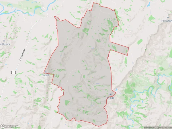
254 people live in Longbush, Waihopai Toetoe Community, NZLongbush Suburb Area Map (Polygon)
Longbush Introduction
Longbush is a small rural community in Southland, New Zealand. It is located in the Southland District of the South Island and is surrounded by stunning natural landscapes, including the Southern Alps and the Fiordland National Park. The community has a population of around 100 people and is known for its peaceful atmosphere and traditional New Zealand farming practices. Longbush is also home to a variety of wildlife, including kea, tui, and kiwi.Region
0Suburb Name
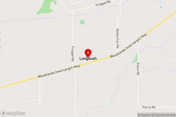
LongbushLongbush Area Map (Street)
Local Authority
Carterton DistrictFull Address
Longbush, Carterton District, New ZealandAddress Type
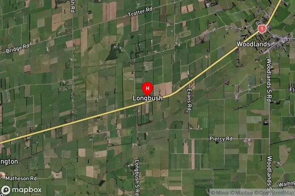
Locality in Major Locality LongbushLongbush Suburb Map (Satellite)
Country
Main Region in AU
SouthlandLongbush Region Map

Coordinates
-46.3727982,168.509535 (latitude/longitude)Distances
The distance from Longbush, Longbush, Carterton District to NZ Top 10 Cities