Te Onepoto Bay Area, Te Onepoto Bay Postcode(5022) & Map in Te Onepoto Bay
Te Onepoto Bay Area, Te Onepoto Bay Postcode(5022) & Map in Te Onepoto Bay, Porirua City, New Zealand
Te Onepoto Bay, Porirua City, New Zealand
Te Onepoto Bay Postcodes
Te Onepoto Bay Area (estimated)
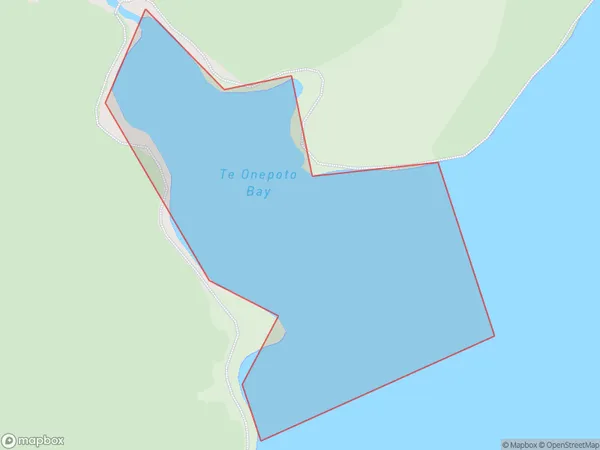
0.1 square kilometersTe Onepoto Bay Population (estimated)
0 people live in Te Onepoto Bay, Porirua, NZTe Onepoto Bay Suburb Area Map (Polygon)
Te Onepoto Bay Introduction
Te Onepoto Bay is a popular spot for swimming, kayaking, and paddleboarding in Wellington, New Zealand. It is located on the southern coast of the city and offers stunning views of the harbor and surrounding islands. The bay is also home to a small community of marine animals, including seals and penguins.Region
Major City
Suburb Name
Te Onepoto BayOther Name(s)
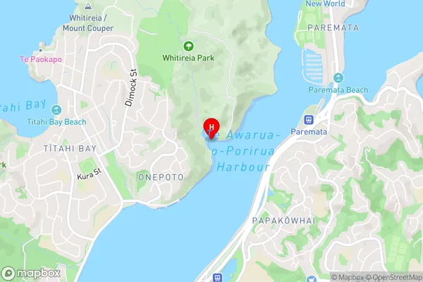
Te Awarua-o-Porirua HarbourTe Onepoto Bay Area Map (Street)
Local Authority
Porirua CityFull Address
Te Onepoto Bay, Porirua City, New ZealandAddress Type
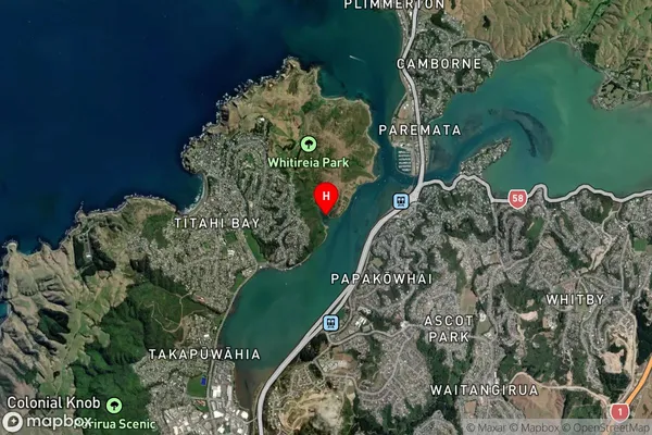
Coastal BayTe Onepoto Bay Suburb Map (Satellite)
Country
Main Region in AU
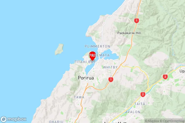
WellingtonTe Onepoto Bay Region Map
Coordinates
-41.1079945,174.854768088534 (latitude/longitude)Distances
The distance from Te Onepoto Bay, , Porirua City to NZ Top 10 Cities