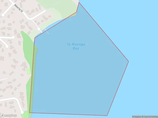
Te Moenga Bay Area, Te Moenga Bay Postcode(3351) & Map in Te Moenga Bay
Te Moenga Bay Area, Te Moenga Bay Postcode(3351) & Map in Te Moenga Bay, Taupo District, New Zealand
Te Moenga Bay, Taupo District, New Zealand
Te Moenga Bay Postcodes
Te Moenga Bay Area (estimated)
0.2 square kilometersTe Moenga Bay Population (estimated)
0 people live in Te Moenga Bay, Waikato, NZTe Moenga Bay Suburb Area Map (Polygon)
Te Moenga Bay Introduction
Te Moenga Bay is a small, sheltered bay located in the Waikato region of New Zealand. It is known for its peaceful atmosphere, stunning natural beauty, and popular with tourists and locals alike. The bay is surrounded by lush green hills and offers a range of recreational activities, including swimming, kayaking, and fishing. It is also home to a small community of residents who enjoy the quiet and relaxed lifestyle of the area.Region
Major City
Suburb Name
Te Moenga BayOther Name(s)
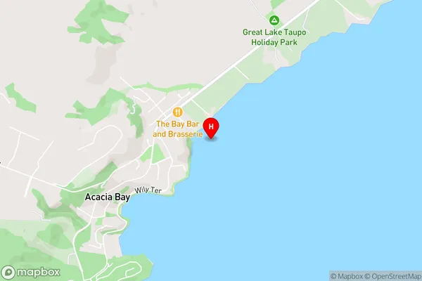
Tapuaeharuru Bay, Lake Taupo (Taupomoana)Te Moenga Bay Area Map (Street)
Local Authority
Taupo DistrictFull Address
Te Moenga Bay, Taupo District, New ZealandAddress Type
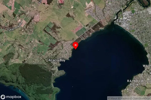
Inland BayTe Moenga Bay Suburb Map (Satellite)
Country
Main Region in AU
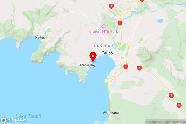
WaikatoTe Moenga Bay Region Map
Coordinates
-38.7021984,176.0378273 (latitude/longitude)Distances
The distance from Te Moenga Bay, , Taupo District to NZ Top 10 Cities