Te Matau a Maui Bay Area, Te Matau a Maui Bay Postcode & Map in Te Matau a Maui Bay
Te Matau a Maui Bay Area, Te Matau a Maui Bay Postcode & Map in Te Matau a Maui Bay, Marlborough District, New Zealand
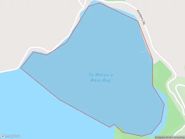
Te Matau a Maui Bay, Marlborough District, New Zealand
Te Matau a Maui Bay Area (estimated)
0.5 square kilometersTe Matau a Maui Bay Population (estimated)
0 people live in Te Matau a Maui Bay, Marlborough, NZTe Matau a Maui Bay Suburb Area Map (Polygon)
Te Matau a Maui Bay Introduction
Te Matau a Maui Bay is a rock formation off the coast of Marlborough, New Zealand. It is a popular tourist destination and is known for its unique shape and stunning views. The rock formation is believed to be a representation of the mythological Maui, who fished up New Zealand from the sea.Region
Suburb Name
Te Matau a Maui BayOther Name(s)
Kenepuru SoundTe Matau a Maui Bay Area Map (Street)

Local Authority
Marlborough DistrictFull Address
Te Matau a Maui Bay, Marlborough District, New ZealandAddress Type
Coastal BayTe Matau a Maui Bay Suburb Map (Satellite)

Country
Main Region in AU
MarlboroughTe Matau a Maui Bay Region Map

Coordinates
-41.1761573,173.966724789216 (latitude/longitude)Distances
The distance from Te Matau a Maui Bay, , Marlborough District to NZ Top 10 Cities