Te Mata Bay Area, Te Mata Bay Postcode(3575) & Map in Te Mata Bay
Te Mata Bay Area, Te Mata Bay Postcode(3575) & Map in Te Mata Bay, Area outside Territorial Authority, New Zealand
Te Mata Bay, Area outside Territorial Authority, New Zealand
Te Mata Bay Postcodes
Te Mata Bay Area (estimated)
1.4 square kilometersTe Mata Bay Population (estimated)
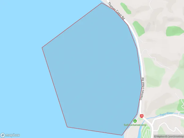
0 people live in Te Mata Bay, Waikato, NZTe Mata Bay Suburb Area Map (Polygon)
Te Mata Bay Introduction
Te Mata Bay is a popular beach in Waikato, New Zealand. It is known for its clear waters, stunning sunsets, and beautiful sand dunes. The bay is a popular spot for swimming, surfing, and fishing, and it is also home to a variety of wildlife, including birds and seals. Visitors can also enjoy walking trails and picnic areas in the surrounding area.Region
Suburb Name
Te Mata BayOther Name(s)
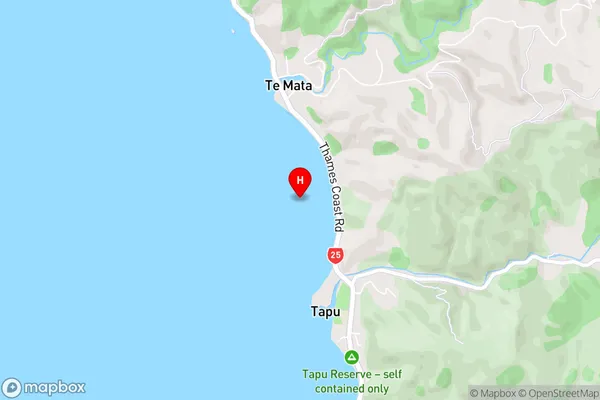
Firth Of Thames, Hauraki GulfTe Mata Bay Area Map (Street)
Local Authority
Area outside Territorial AuthorityFull Address
Te Mata Bay, Area outside Territorial Authority, New ZealandAddress Type
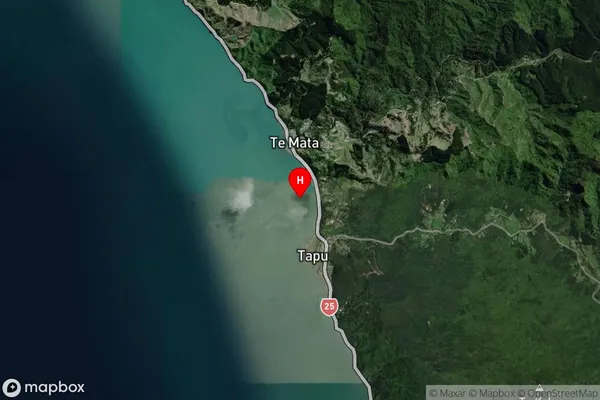
Coastal BayTe Mata Bay Suburb Map (Satellite)
Country
Main Region in AU
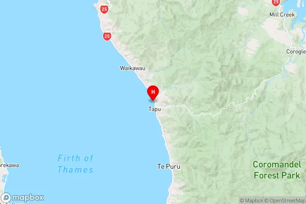
WaikatoTe Mata Bay Region Map
Coordinates
-36.9769653,175.4971768 (latitude/longitude)Distances
The distance from Te Mata Bay, , Area outside Territorial Authority to NZ Top 10 Cities