Te Kouma Harbour Area, Te Kouma Harbour Postcode(3500) & Map in Te Kouma Harbour
Te Kouma Harbour Area, Te Kouma Harbour Postcode(3500) & Map in Te Kouma Harbour, Thames-Coromandel District, New Zealand
Te Kouma Harbour, Thames-Coromandel District, New Zealand
Te Kouma Harbour Postcodes
Te Kouma Harbour Area (estimated)
3.3 square kilometersTe Kouma Harbour Population (estimated)
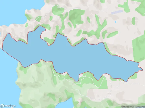
0 people live in Te Kouma Harbour, Waikato, NZTe Kouma Harbour Suburb Area Map (Polygon)
Te Kouma Harbour Introduction
Te Kouma Harbour is a sheltered harbor on the west coast of the North Island of New Zealand. It is located in the Waikato region, approximately 100 kilometers south of Hamilton. The harbor is known for its clear waters and scenic surroundings, and it is a popular destination for boating, fishing, and kayaking. It is also home to a small community of residents and a number of tourist attractions, including the Te Kouma Lighthouse and the Te Kouma Marine Reserve.Region
Suburb Name
Te Kouma HarbourOther Name(s)
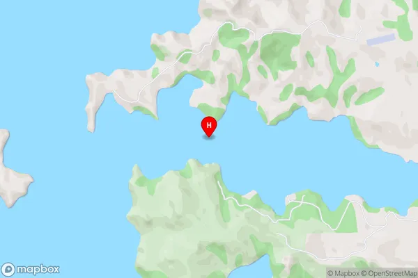
Hauraki GulfTe Kouma Harbour Area Map (Street)
Local Authority
Thames-Coromandel DistrictFull Address
Te Kouma Harbour, Thames-Coromandel District, New ZealandAddress Type
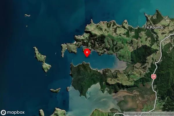
Coastal BayTe Kouma Harbour Suburb Map (Satellite)
Country
Main Region in AU
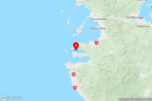
WaikatoTe Kouma Harbour Region Map
Coordinates
-36.8255934,175.4382011 (latitude/longitude)Distances
The distance from Te Kouma Harbour, , Thames-Coromandel District to NZ Top 10 Cities