Te Kopua Bay Area, Te Kopua Bay Postcode(4108) & Map in Te Kopua Bay
Te Kopua Bay Area, Te Kopua Bay Postcode(4108) & Map in Te Kopua Bay, Wairoa District, New Zealand
Te Kopua Bay, Wairoa District, New Zealand
Te Kopua Bay Postcodes
Te Kopua Bay Area (estimated)
0.2 square kilometersTe Kopua Bay Population (estimated)
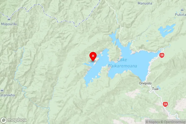
0 people live in Te Kopua Bay, Hawke's Bay, NZTe Kopua Bay Suburb Area Map (Polygon)

Te Kopua Bay Introduction
Te Kopua Bay is a popular beach in Hawke's Bay, New Zealand. It is known for its white sand, crystal-clear waters, and stunning coastal views. The bay is a popular spot for swimming, surfing, and fishing, and it is surrounded by native bush and farmland. There are also several walking trails and picnic areas in the area, making it a great place for a day trip or weekend getaway.Region
Suburb Name
Te Kopua BayOther Name(s)
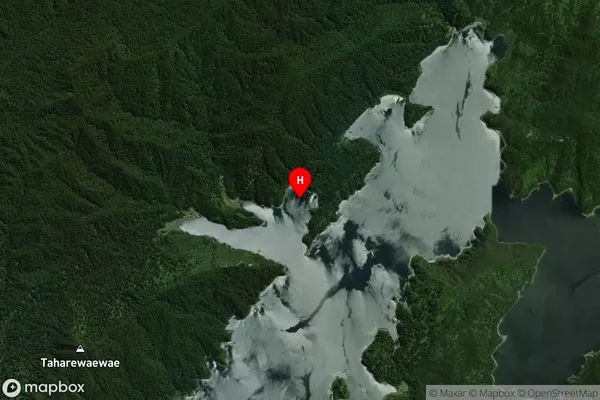
Wairaomoana (Wairau Arm), Lake WaikaremoanaTe Kopua Bay Area Map (Street)

Local Authority
Wairoa DistrictFull Address
Te Kopua Bay, Wairoa District, New ZealandAddress Type
Inland BayTe Kopua Bay Suburb Map (Satellite)
Country
Main Region in AU
Hawke's BayTe Kopua Bay Region Map
Coordinates
-38.7665481,177.0066756 (latitude/longitude)Distances
The distance from Te Kopua Bay, , Wairoa District to NZ Top 10 Cities