Te Kirikiri Bay Area, Te Kirikiri Bay Postcode & Map in Te Kirikiri Bay
Te Kirikiri Bay Area, Te Kirikiri Bay Postcode & Map in Te Kirikiri Bay, Area outside Territorial Authority, New Zealand
Te Kirikiri Bay, Area outside Territorial Authority, New Zealand
Te Kirikiri Bay Area (estimated)
0.0 square kilometersTe Kirikiri Bay Population (estimated)
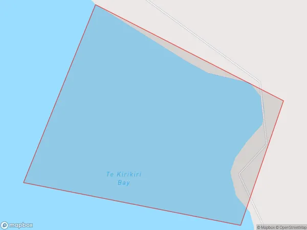
0 people live in Te Kirikiri Bay, Northland, NZTe Kirikiri Bay Suburb Area Map (Polygon)
Te Kirikiri Bay Introduction
Te Kirikiri Bay is a bay in the Northland Region of New Zealand. It is located between the towns of Kaitaia and Opua, and is known for its stunning natural beauty, including rugged cliffs, pristine beaches, and diverse marine life. The bay is a popular destination for outdoor activities such as hiking, fishing, and kayaking, and is home to a small community of residents.Region
Suburb Name
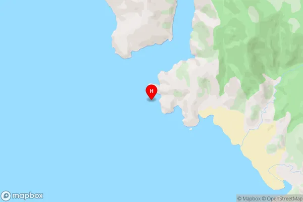
Te Kirikiri BayTe Kirikiri Bay Area Map (Street)
Local Authority
Area outside Territorial AuthorityFull Address
Te Kirikiri Bay, Area outside Territorial Authority, New ZealandAddress Type
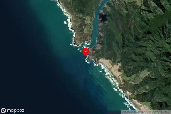
Coastal BayTe Kirikiri Bay Suburb Map (Satellite)
Country
Main Region in AU
NorthlandTe Kirikiri Bay Region Map

Coordinates
-35.3842356,173.21944 (latitude/longitude)Distances
The distance from Te Kirikiri Bay, , Area outside Territorial Authority to NZ Top 10 Cities