Te Huka Bay Area, Te Huka Bay Postcode & Map in Te Huka Bay
Te Huka Bay Area, Te Huka Bay Postcode & Map in Te Huka Bay, Area outside Territorial Authority, New Zealand
Te Huka Bay, Area outside Territorial Authority, New Zealand
Te Huka Bay Area (estimated)
0.2 square kilometersTe Huka Bay Population (estimated)
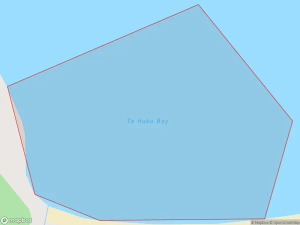
0 people live in Te Huka Bay, Northland, NZTe Huka Bay Suburb Area Map (Polygon)
Te Huka Bay Introduction
Te Huka Bay is a hidden gem in Northland, New Zealand, known for its stunning turquoise waters, pristine beaches, and rich marine life. It is a popular spot for snorkeling, kayaking, and fishing and is surrounded by breathtaking natural scenery. The bay is also home to the Te Huka o Tāne Mahuta, a giant ancient kauri tree that is considered one of the most sacred trees in New Zealand.Region
Suburb Name
Te Huka BayOther Name(s)
Tom Bowling BayTe Huka Bay Area Map (Street)

Local Authority
Area outside Territorial AuthorityFull Address
Te Huka Bay, Area outside Territorial Authority, New ZealandAddress Type
Coastal BayTe Huka Bay Suburb Map (Satellite)

Country
Main Region in AU
NorthlandTe Huka Bay Region Map

Coordinates
-34.41676525,172.959878906536 (latitude/longitude)Distances
The distance from Te Huka Bay, , Area outside Territorial Authority to NZ Top 10 Cities