Te Hapua Bay Area, Te Hapua Bay Postcode(3330) & Map in Te Hapua Bay
Te Hapua Bay Area, Te Hapua Bay Postcode(3330) & Map in Te Hapua Bay, Taupo District, New Zealand
Te Hapua Bay, Taupo District, New Zealand
Te Hapua Bay Postcodes
Te Hapua Bay Area (estimated)
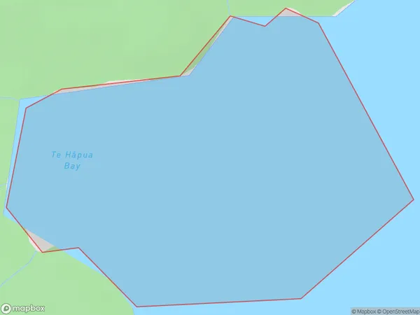
0.5 square kilometersTe Hapua Bay Population (estimated)
0 people live in Te Hapua Bay, Waikato, NZTe Hapua Bay Suburb Area Map (Polygon)
Te Hapua Bay Introduction
Te Hapua Bay is a small, sheltered bay located in the Waikato region of New Zealand. It is known for its clear waters, sandy beaches, and stunning coastal scenery. The bay is a popular spot for swimming, kayaking, and fishing, and it is also home to a small community of residents. The bay is surrounded by lush green hills and is located just a short drive from the town of Hamilton.Region
Suburb Name
Te Hapua Bay (Maori Name: Te Hāpua Bay)Other Name(s)
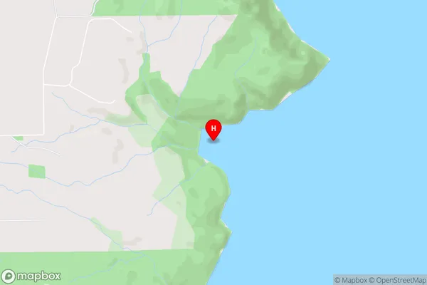
Lake Taupo (Taupomoana)Te Hapua Bay Area Map (Street)
Local Authority
Taupo DistrictFull Address
Te Hapua Bay, Taupo District, New ZealandAddress Type
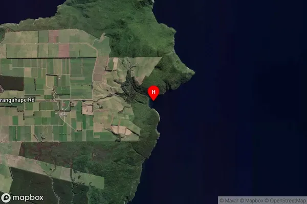
Inland BayTe Hapua Bay Suburb Map (Satellite)
Country
Main Region in AU
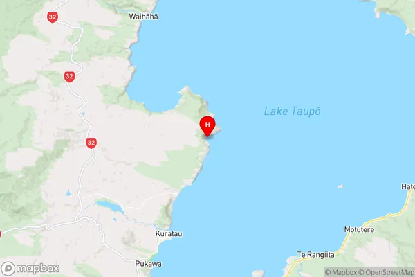
WaikatoTe Hapua Bay Region Map
Coordinates
-38.8170967,175.8103383 (latitude/longitude)Distances
The distance from Te Hapua Bay, , Taupo District to NZ Top 10 Cities