Te Hakono Bay Area, Te Hakono Bay Postcode & Map in Te Hakono Bay
Te Hakono Bay Area, Te Hakono Bay Postcode & Map in Te Hakono Bay, Area outside Territorial Authority, New Zealand
Te Hakono Bay, Area outside Territorial Authority, New Zealand
Te Hakono Bay Area (estimated)
0.1 square kilometersTe Hakono Bay Population (estimated)
0 people live in Te Hakono Bay, Northland, NZTe Hakono Bay Suburb Area Map (Polygon)
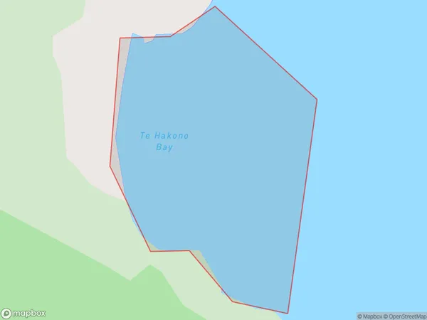
Te Hakono Bay Introduction
Te Hakono Bay is a small bay on the Northland coast of New Zealand. It is located at the northern end of the Bay of Islands and is known for its clear waters, sandy beaches, and stunning coastal scenery. The bay is a popular destination for tourists and is home to a small community of residents. It is also a popular spot for fishing, kayaking, and snorkeling.Region
Suburb Name
Te Hakono BayOther Name(s)
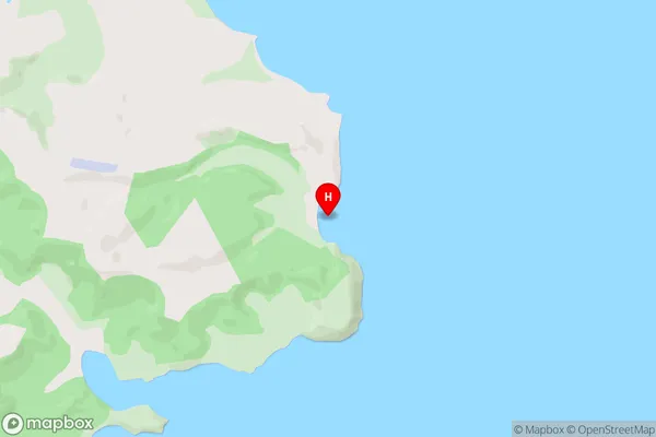
Kaipara HarbourTe Hakono Bay Area Map (Street)
Local Authority
Area outside Territorial AuthorityFull Address
Te Hakono Bay, Area outside Territorial Authority, New ZealandAddress Type
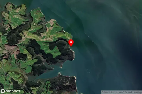
Coastal BayTe Hakono Bay Suburb Map (Satellite)
Country
Main Region in AU
NorthlandTe Hakono Bay Region Map

Coordinates
-36.283754,174.1552065 (latitude/longitude)Distances
The distance from Te Hakono Bay, , Area outside Territorial Authority to NZ Top 10 Cities