Te Awaroa Bay Area, Te Awaroa Bay Postcode(3330) & Map in Te Awaroa Bay
Te Awaroa Bay Area, Te Awaroa Bay Postcode(3330) & Map in Te Awaroa Bay, Taupo District, New Zealand
Te Awaroa Bay, Taupo District, New Zealand
Te Awaroa Bay Postcodes
Te Awaroa Bay Area (estimated)
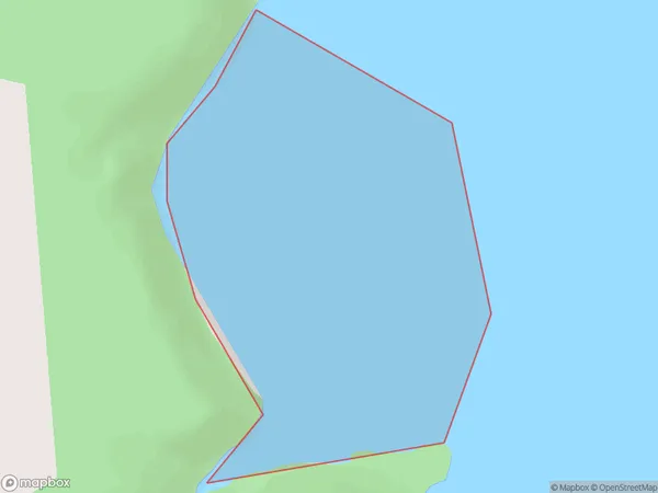
0.7 square kilometersTe Awaroa Bay Population (estimated)
0 people live in Te Awaroa Bay, Waikato, NZTe Awaroa Bay Suburb Area Map (Polygon)
Te Awaroa Bay Introduction
Waikato's Te Awaroa Bay is a popular holiday spot with a long sandy beach, a safe swimming area, and a boat ramp. It is also a popular spot for fishing and has a campground and picnic areas. The bay is named after the Maori chief Te Awaroa, who was a prominent figure in the region's early history.Region
Suburb Name
Te Awaroa BayOther Name(s)
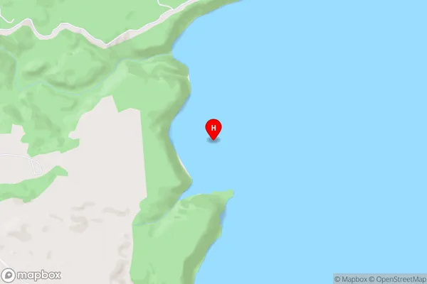
Western Bay, Lake Taupo (Taupomoana)Te Awaroa Bay Area Map (Street)
Local Authority
Taupo DistrictFull Address
Te Awaroa Bay, Taupo District, New ZealandAddress Type
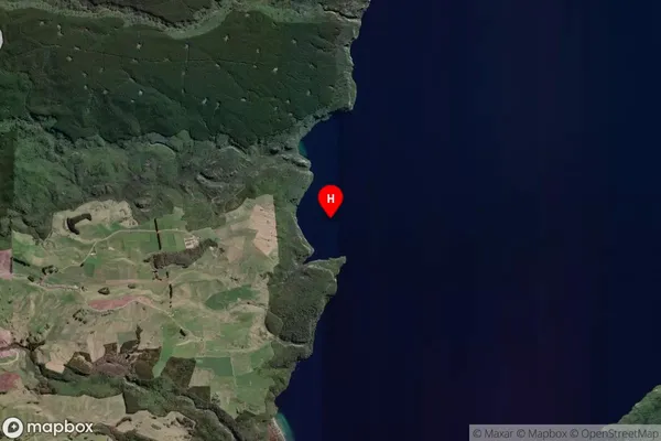
Inland BayTe Awaroa Bay Suburb Map (Satellite)
Country
Main Region in AU
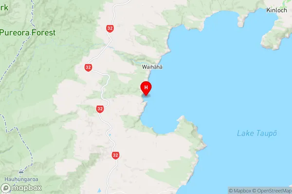
WaikatoTe Awaroa Bay Region Map
Coordinates
-38.7560288,175.7379766 (latitude/longitude)Distances
The distance from Te Awaroa Bay, , Taupo District to NZ Top 10 Cities