Te Angamate Bay Area, Te Angamate Bay Postcode & Map in Te Angamate Bay
Te Angamate Bay Area, Te Angamate Bay Postcode & Map in Te Angamate Bay, Far North District, New Zealand
Te Angamate Bay, Far North District, New Zealand
Te Angamate Bay Area (estimated)
0.2 square kilometersTe Angamate Bay Population (estimated)
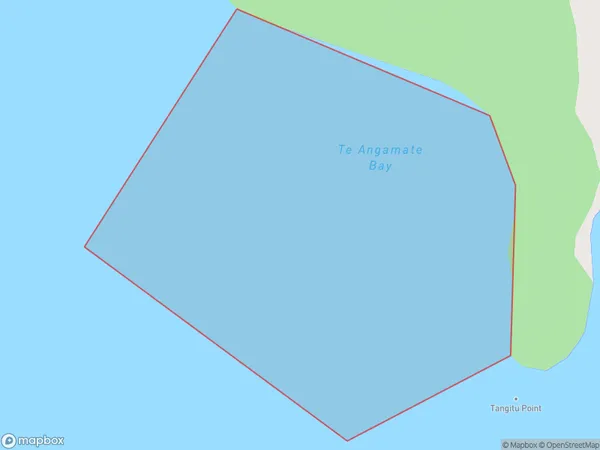
0 people live in Te Angamate Bay, Bay of Islands-Whangaroa Community, NZTe Angamate Bay Suburb Area Map (Polygon)
Te Angamate Bay Introduction
Te Angamate Bay is a picturesque bay located in Northland, New Zealand. It is known for its stunning turquoise waters, white sand beaches, and surrounding cliffs. The bay is a popular spot for swimming, kayaking, and fishing, and it is also home to a small community of people who live in the surrounding areas.Region
Major City
Suburb Name
Te Angamate BayOther Name(s)
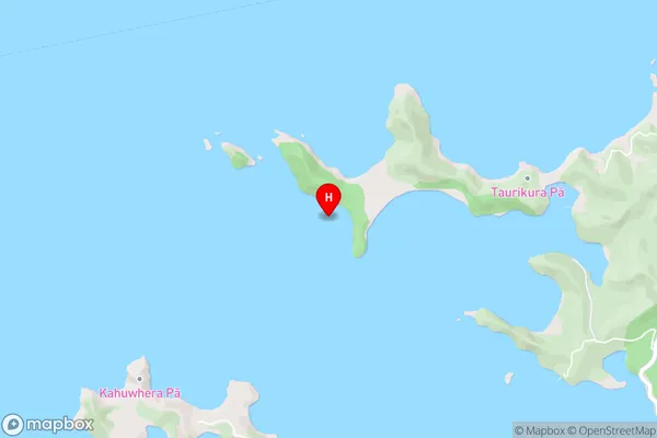
Te Rawhiti Inlet, Bay Of IslandsTe Angamate Bay Area Map (Street)
Local Authority
Far North DistrictFull Address
Te Angamate Bay, Far North District, New ZealandAddress Type
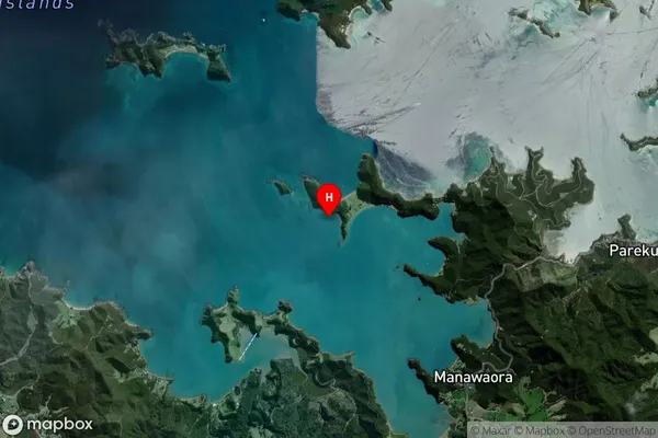
Coastal BayTe Angamate Bay Suburb Map (Satellite)
Country
Main Region in AU
NorthlandTe Angamate Bay Region Map

Coordinates
-35.2541683,174.1921781 (latitude/longitude)Distances
The distance from Te Angamate Bay, , Far North District to NZ Top 10 Cities