Lochiel Area, Lochiel Postcode(9781) & Map in Lochiel
Lochiel Area, Lochiel Postcode(9781) & Map in Lochiel, Southland District, New Zealand
Lochiel, Southland District, New Zealand
Lochiel Postcodes
Lochiel Area (estimated)
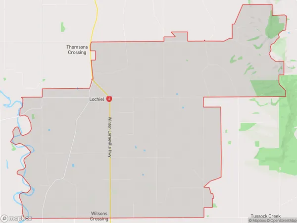
80.3 square kilometersLochiel Population (estimated)
407 people live in Lochiel, Oreti Community, NZLochiel Suburb Area Map (Polygon)
Lochiel Introduction
Lochiel is a small rural community in Southland, New Zealand, located on the banks of the Clutha River. It is known for its scenic beauty, with lush green forests, picturesque rivers, and stunning mountain views. The community has a strong Scottish heritage and is home to a historic church and a variety of local businesses. Lochiel is a popular destination for outdoor enthusiasts, with hiking, fishing, and hunting opportunities in the surrounding area.Region
Major City
Suburb Name
LochielOther Name(s)
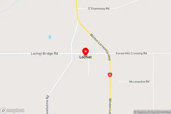
Wilsons CrossingLochiel Area Map (Street)
Local Authority
Southland DistrictFull Address
Lochiel, Southland District, New ZealandAddress Type
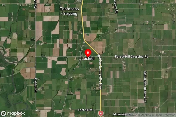
Locality in Town WintonLochiel Suburb Map (Satellite)
Country
Main Region in AU
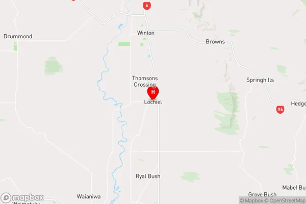
SouthlandLochiel Region Map
Coordinates
-46.20594,168.33366 (latitude/longitude)Distances
The distance from Lochiel, Winton, Southland District to NZ Top 10 Cities