Taupo Bay / West Bay Area, Taupo Bay / West Bay Postcode(0479) & Map in Taupo Bay / West Bay
Taupo Bay / West Bay Area, Taupo Bay / West Bay Postcode(0479) & Map in Taupo Bay / West Bay, Area outside Territorial Authority, New Zealand
Taupo Bay / West Bay, Area outside Territorial Authority, New Zealand
Taupo Bay / West Bay Postcodes
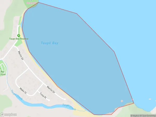
Taupo Bay / West Bay Area (estimated)
0.6 square kilometersTaupo Bay / West Bay Population (estimated)
0 people live in Taupo Bay / West Bay, Northland, NZTaupo Bay / West Bay Suburb Area Map (Polygon)
Taupo Bay / West Bay Introduction
Taupo Bay / West Bay is a popular beach destination in Northland, New Zealand. It is known for its clear waters, sandy beaches, and stunning natural surroundings. Visitors can enjoy a range of activities, such as swimming, kayaking, and fishing, and there are also several restaurants and cafes nearby. The bay is also a popular spot for watching sunsets and is home to a large population of native birds.Region
Suburb Name
Taupo Bay / West Bay (Maori Name: Taupō Bay / West Bay)Other Name(s)
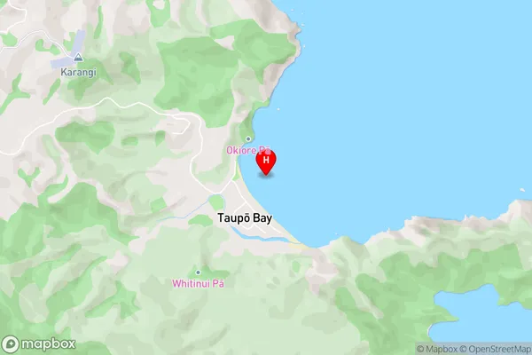
Whangaroa Bay, West BayTaupo Bay / West Bay Area Map (Street)
Local Authority
Area outside Territorial AuthorityFull Address
Taupo Bay / West Bay, Area outside Territorial Authority, New ZealandAddress Type
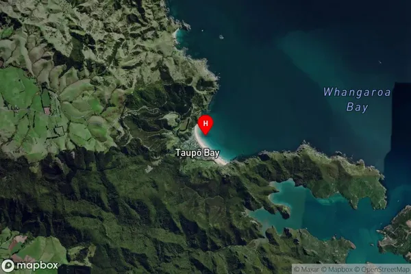
Coastal BayTaupo Bay / West Bay Suburb Map (Satellite)
Country
Main Region in AU
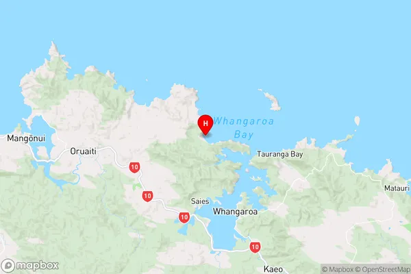
NorthlandTaupo Bay / West Bay Region Map
Coordinates
-34.9919168,173.7122099 (latitude/longitude)Distances
The distance from Taupo Bay / West Bay, , Area outside Territorial Authority to NZ Top 10 Cities