Taungawaka Bay Area, Taungawaka Bay Postcode & Map in Taungawaka Bay
Taungawaka Bay Area, Taungawaka Bay Postcode & Map in Taungawaka Bay, Area outside Territorial Authority, New Zealand
Taungawaka Bay, Area outside Territorial Authority, New Zealand
Taungawaka Bay Area (estimated)
0.3 square kilometersTaungawaka Bay Population (estimated)
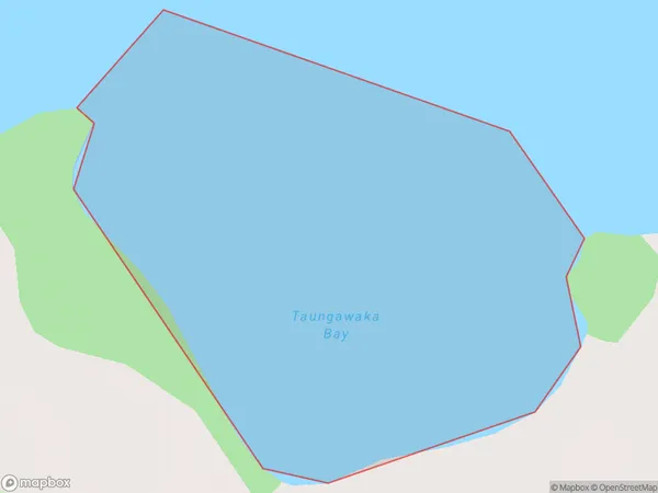
0 people live in Taungawaka Bay, Bay of Plenty, NZTaungawaka Bay Suburb Area Map (Polygon)
Taungawaka Bay Introduction
Taungawaka Bay is a large, shallow bay in the Bay of Plenty, New Zealand. It is known for its stunning coastal scenery, including rugged cliffs, sandy beaches, and crystal-clear waters. The bay is a popular destination for boating, fishing, and swimming, and is home to a variety of wildlife, including dolphins, whales, and seals. Taungawaka Bay is also a significant cultural site for the local Māori people, with several important archaeological sites located within its boundaries.Region
Suburb Name
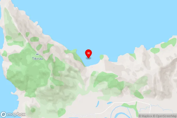
Taungawaka BayTaungawaka Bay Area Map (Street)
Local Authority
Area outside Territorial AuthorityFull Address
Taungawaka Bay, Area outside Territorial Authority, New ZealandAddress Type
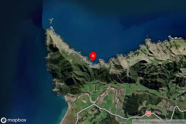
Coastal BayTaungawaka Bay Suburb Map (Satellite)
Country
Main Region in AU
Bay of PlentyTaungawaka Bay Region Map

Coordinates
-37.5514367,178.0064662 (latitude/longitude)Distances
The distance from Taungawaka Bay, , Area outside Territorial Authority to NZ Top 10 Cities