Tapuaenui Bay Area, Tapuaenui Bay Postcode(4108) & Map in Tapuaenui Bay
Tapuaenui Bay Area, Tapuaenui Bay Postcode(4108) & Map in Tapuaenui Bay, Wairoa District, New Zealand
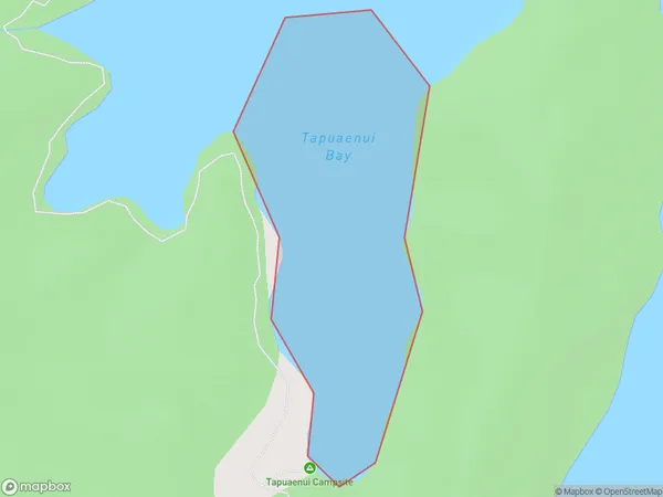
Tapuaenui Bay, Wairoa District, New Zealand
Tapuaenui Bay Postcodes
Tapuaenui Bay Area (estimated)
0.1 square kilometersTapuaenui Bay Population (estimated)
0 people live in Tapuaenui Bay, Hawke's Bay, NZTapuaenui Bay Suburb Area Map (Polygon)
Tapuaenui Bay Introduction
Tapuaenui Bay is a popular beach destination in Hawke's Bay, New Zealand. It is known for its clear waters, sandy beaches, and stunning coastal scenery. The bay is also a popular spot for swimming, kayaking, and fishing, with a variety of fish species available to catch. The surrounding area is home to several historic sites, including the Tapuaenui Hill Fort, which offers panoramic views of the bay and the surrounding area.Region
Suburb Name
Tapuaenui BayOther Name(s)
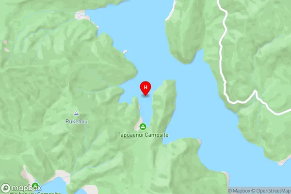
Whanganui Inlet, Lake WaikaremoanaTapuaenui Bay Area Map (Street)
Local Authority
Wairoa DistrictFull Address
Tapuaenui Bay, Wairoa District, New ZealandAddress Type
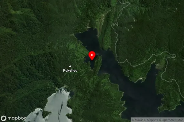
Inland BayTapuaenui Bay Suburb Map (Satellite)
Country
Main Region in AU
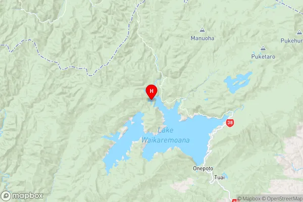
Hawke's BayTapuaenui Bay Region Map
Coordinates
-38.7317837,177.0524225 (latitude/longitude)Distances
The distance from Tapuaenui Bay, , Wairoa District to NZ Top 10 Cities