Tapotupotu Bay Area, Tapotupotu Bay Postcode & Map in Tapotupotu Bay
Tapotupotu Bay Area, Tapotupotu Bay Postcode & Map in Tapotupotu Bay, Area outside Territorial Authority, New Zealand
Tapotupotu Bay, Area outside Territorial Authority, New Zealand
Tapotupotu Bay Area (estimated)
0.2 square kilometersTapotupotu Bay Population (estimated)
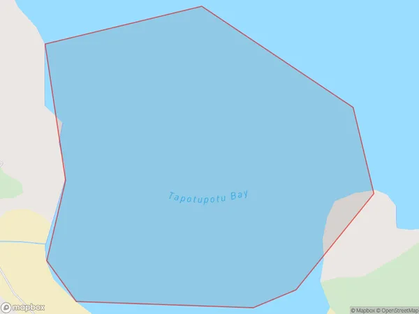
0 people live in Tapotupotu Bay, Northland, NZTapotupotu Bay Suburb Area Map (Polygon)
Tapotupotu Bay Introduction
Tapotupotu Bay is a small, sheltered bay located in the Bay of Islands, Northland, New Zealand. It is known for its clear waters, sandy beaches, and stunning coastal scenery. The bay is a popular spot for swimming, snorkeling, and kayaking, and is home to a variety of marine life, including dolphins, whales, and seals. It is also a popular filming location, with several movies and TV shows having been shot in the area.Region
Suburb Name
Tapotupotu BayTapotupotu Bay Area Map (Street)

Local Authority
Area outside Territorial AuthorityFull Address
Tapotupotu Bay, Area outside Territorial Authority, New ZealandAddress Type
Coastal BayTapotupotu Bay Suburb Map (Satellite)

Country
Main Region in AU
NorthlandTapotupotu Bay Region Map

Coordinates
-34.43429075,172.715481153872 (latitude/longitude)Distances
The distance from Tapotupotu Bay, , Area outside Territorial Authority to NZ Top 10 Cities