Livingstone Area, Livingstone Postcode & Map in Livingstone
Livingstone Area, Livingstone Postcode & Map in Livingstone, Waitaki District, New Zealand
Livingstone, Waitaki District, New Zealand
Livingstone Area (estimated)
302.4 square kilometersLivingstone Population (estimated)
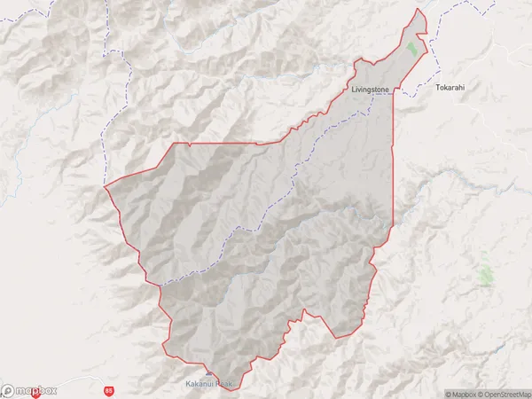
80 people live in Livingstone, Canterbury, NZLivingstone Suburb Area Map (Polygon)
Livingstone Introduction
Livingstone is a small rural town in the Oamaru District of Canterbury, New Zealand. It is located on the banks of the Waitaki River and is known for its historic stone buildings and scenic surroundings. The town has a population of around 1,000 people and is a popular tourist destination.Region
Major City
Suburb Name
LivingstoneOther Name(s)
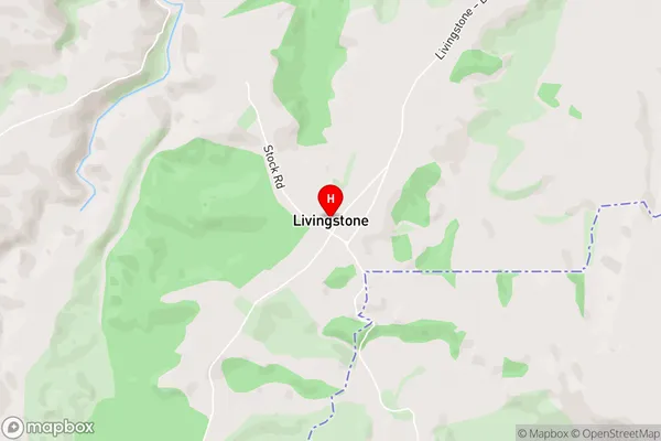
PukeraroLivingstone Area Map (Street)
Local Authority
Waitaki DistrictFull Address
Livingstone, Waitaki District, New ZealandAddress Type
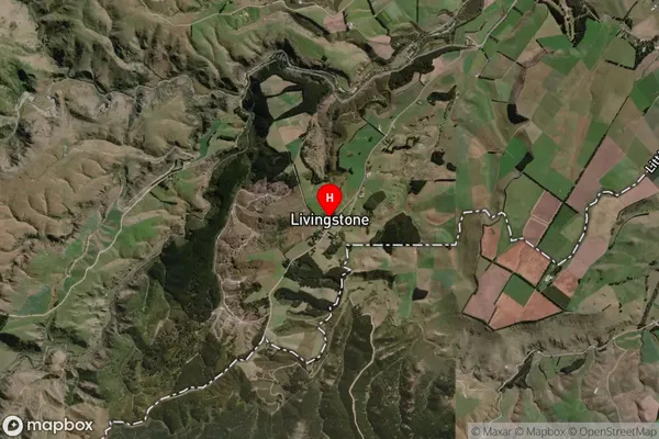
Locality in Town OamaruLivingstone Suburb Map (Satellite)
Country
Main Region in AU
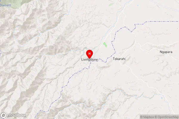
CanterburyLivingstone Region Map
Coordinates
-44.9626717,170.5767303 (latitude/longitude)Distances
The distance from Livingstone, Oamaru, Waitaki District to NZ Top 10 Cities