Tangitu Bay Area, Tangitu Bay Postcode & Map in Tangitu Bay
Tangitu Bay Area, Tangitu Bay Postcode & Map in Tangitu Bay, Far North District, New Zealand
Tangitu Bay, Far North District, New Zealand
Tangitu Bay Area (estimated)
0.0 square kilometersTangitu Bay Population (estimated)
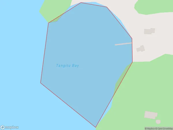
0 people live in Tangitu Bay, Bay of Islands-Whangaroa Community, NZTangitu Bay Suburb Area Map (Polygon)
Tangitu Bay Introduction
Tangitu Bay is a small bay located in the Northland region of New Zealand. It is known for its stunning natural beauty, including rugged cliffs, crystal-clear waters, and a diverse range of marine life. The bay is a popular spot for fishing, kayaking, and snorkeling, and is also home to a small community of residents.Region
Major City
Suburb Name
Tangitu BayOther Name(s)
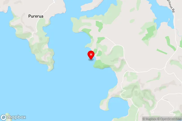
Te Puna Inlet, Bay Of IslandsTangitu Bay Area Map (Street)
Local Authority
Far North DistrictFull Address
Tangitu Bay, Far North District, New ZealandAddress Type
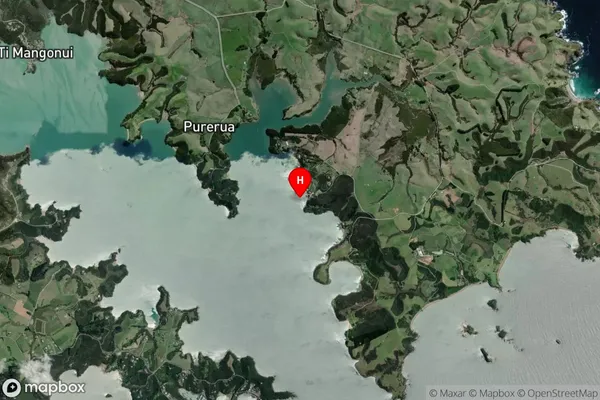
Coastal BayTangitu Bay Suburb Map (Satellite)
Country
Main Region in AU
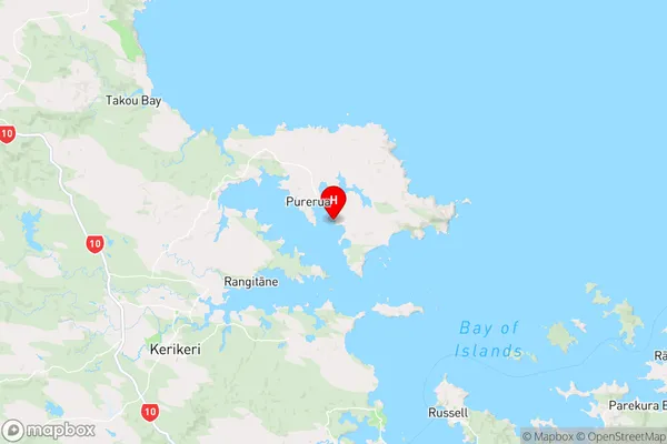
NorthlandTangitu Bay Region Map
Coordinates
-35.1654189,174.0507632 (latitude/longitude)Distances
The distance from Tangitu Bay, , Far North District to NZ Top 10 Cities