Tangitiki Bay Area, Tangitiki Bay Postcode & Map in Tangitiki Bay
Tangitiki Bay Area, Tangitiki Bay Postcode & Map in Tangitiki Bay, Area outside Territorial Authority, New Zealand
Tangitiki Bay, Area outside Territorial Authority, New Zealand
Tangitiki Bay Area (estimated)
1.1 square kilometersTangitiki Bay Population (estimated)
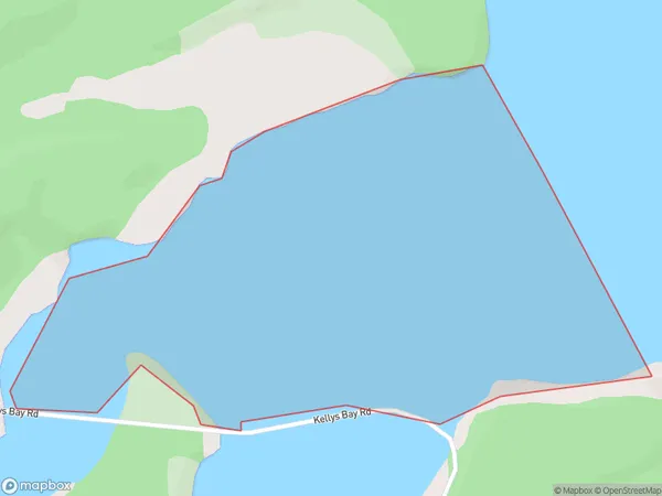
0 people live in Tangitiki Bay, Northland, NZTangitiki Bay Suburb Area Map (Polygon)
Tangitiki Bay Introduction
Tangitiki Bay is a picturesque bay located in the Northland region of New Zealand. It is known for its clear waters, sandy beaches, and stunning coastal scenery. The bay is a popular spot for swimming, snorkeling, and kayaking, and is home to a variety of marine life, including dolphins, whales, and seals. The bay is also a popular destination for tourists, with several accommodation options and restaurants nearby.Region
Suburb Name
Tangitiki BayOther Name(s)
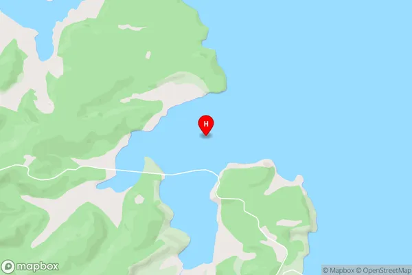
Kaipara HarbourTangitiki Bay Area Map (Street)
Local Authority
Area outside Territorial AuthorityFull Address
Tangitiki Bay, Area outside Territorial Authority, New ZealandAddress Type
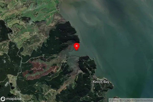
Coastal BayTangitiki Bay Suburb Map (Satellite)
Country
Main Region in AU
NorthlandTangitiki Bay Region Map

Coordinates
-36.2325976,174.083653 (latitude/longitude)Distances
The distance from Tangitiki Bay, , Area outside Territorial Authority to NZ Top 10 Cities