Takerau Bay Area, Takerau Bay Postcode & Map in Takerau Bay
Takerau Bay Area, Takerau Bay Postcode & Map in Takerau Bay, Area outside Territorial Authority, New Zealand
Takerau Bay, Area outside Territorial Authority, New Zealand
Takerau Bay Area (estimated)
0.3 square kilometersTakerau Bay Population (estimated)
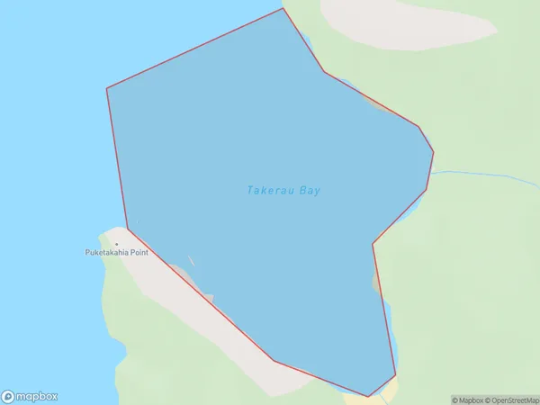
0 people live in Takerau Bay, Northland, NZTakerau Bay Suburb Area Map (Polygon)
Takerau Bay Introduction
Tāne Mahuta, also known as the Tāne Tree, is a large kauri tree located in Tāne Mahuta National Park in Northland, New Zealand. It is the most photographed and recognizable tree in New Zealand.Region
Suburb Name
Takerau BayOther Name(s)
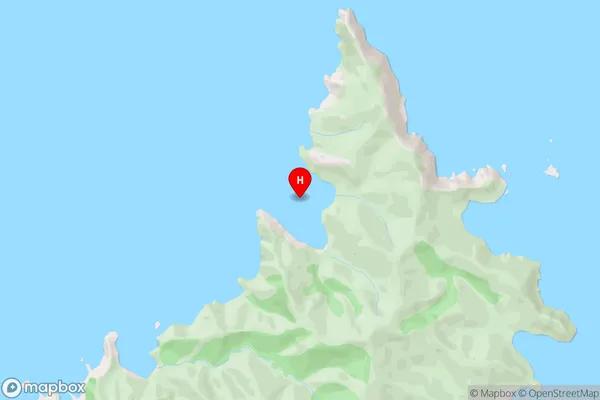
Doubtless BayTakerau Bay Area Map (Street)
Local Authority
Area outside Territorial AuthorityFull Address
Takerau Bay, Area outside Territorial Authority, New ZealandAddress Type
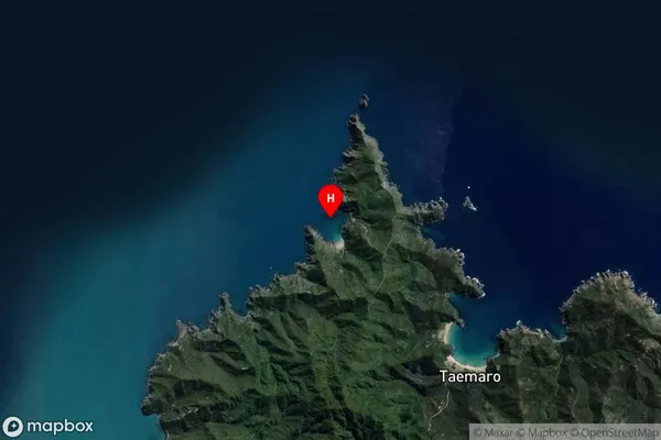
Coastal BayTakerau Bay Suburb Map (Satellite)
Country
Main Region in AU
NorthlandTakerau Bay Region Map

Coordinates
-34.926175,173.5544372 (latitude/longitude)Distances
The distance from Takerau Bay, , Area outside Territorial Authority to NZ Top 10 Cities