Linwood Area, Linwood Postcode(8011) & Map in Linwood
Linwood Area, Linwood Postcode(8011) & Map in Linwood, Christchurch City, New Zealand
Linwood, Christchurch City, New Zealand
Linwood Area (estimated)
3.7 square kilometersLinwood Population (estimated)
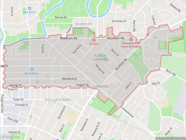
10692 people live in Linwood, Linwood-Central-Heathcote Community, NZLinwood Suburb Area Map (Polygon)
Linwood Introduction
Linwood is a suburb of Christchurch, New Zealand, located in the eastern suburbs of the city. It is known for its large population of Pacific Islanders and has a variety of shops, restaurants, and recreational facilities. The suburb also has a significant Muslim community and is home to the Linwood Islamic Centre.Region
Major City
Suburb Name
LinwoodOther Name(s)
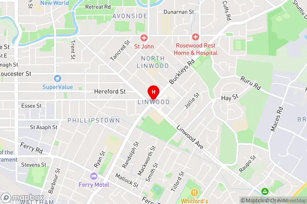
East LinwoodLinwood Area Map (Street)
Local Authority
Christchurch CityFull Address
Linwood, Christchurch City, New ZealandAddress Type
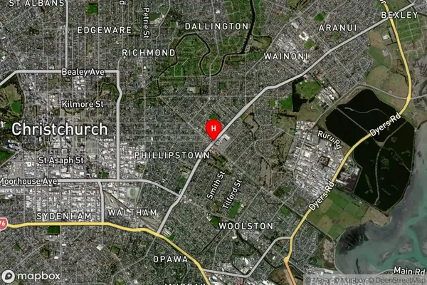
Suburb in City ChristchurchLinwood Suburb Map (Satellite)
Country
Main Region in AU
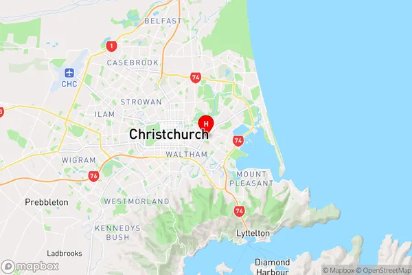
CanterburyLinwood Region Map
Coordinates
-43.5332949,172.6735769 (latitude/longitude)Distances
The distance from Linwood, Christchurch, Christchurch City to NZ Top 10 Cities