Swell Bay Area, Swell Bay Postcode(8081) & Map in Swell Bay
Swell Bay Area, Swell Bay Postcode(8081) & Map in Swell Bay, Hurunui District, New Zealand
Swell Bay, Hurunui District, New Zealand
Swell Bay Postcodes
Swell Bay Area (estimated)
0.2 square kilometersSwell Bay Population (estimated)
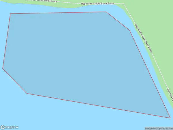
0 people live in Swell Bay, Canterbury, NZSwell Bay Suburb Area Map (Polygon)
Swell Bay Introduction
Swell Bay is a small, secluded beach located in the Canterbury region of New Zealand. It is known for its crystal-clear waters, stunning coastal views, and peaceful atmosphere, making it a popular spot for swimming, sunbathing, and picnicking. The bay is surrounded by native vegetation and has a small campground that is open during the summer months.Region
Suburb Name
Swell BayOther Name(s)
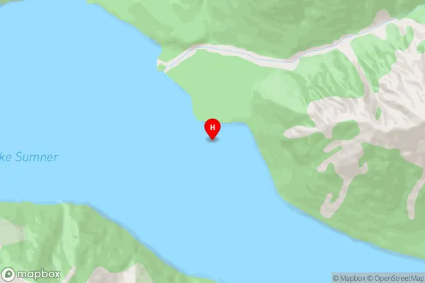
Lake SumnerSwell Bay Area Map (Street)
Local Authority
Hurunui DistrictFull Address
Swell Bay, Hurunui District, New ZealandAddress Type
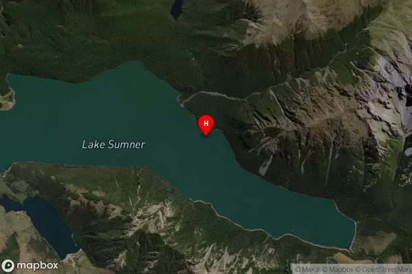
Inland BaySwell Bay Suburb Map (Satellite)
Country
Main Region in AU
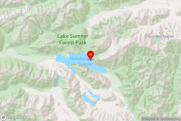
CanterburySwell Bay Region Map
Coordinates
-42.701861,172.23925 (latitude/longitude)Distances
The distance from Swell Bay, , Hurunui District to NZ Top 10 Cities