Te Hapua / Sutherland Sound Area, Te Hapua / Sutherland Sound Postcode & Map in Te Hapua / Sutherland Sound
Te Hapua / Sutherland Sound Area, Te Hapua / Sutherland Sound Postcode & Map in Te Hapua / Sutherland Sound, Southland District, New Zealand
Te Hapua / Sutherland Sound, Southland District, New Zealand
Te Hapua / Sutherland Sound Area (estimated)
13.0 square kilometersTe Hapua / Sutherland Sound Population (estimated)
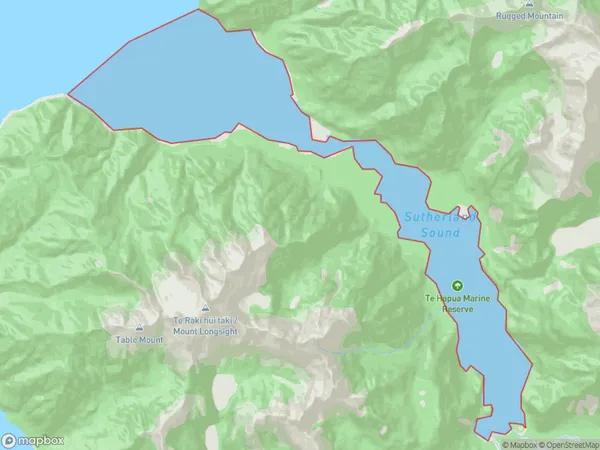
0 people live in Te Hapua / Sutherland Sound, Southland, NZTe Hapua / Sutherland Sound Suburb Area Map (Polygon)
Te Hapua / Sutherland Sound Introduction
Te Hapua / Sutherland Sound is a fjord in Southland, New Zealand. It is located between the Southern Alps and the Fiordland National Park. The sound is 40 kilometers long and up to 1.5 kilometers wide. It was formed by glaciers during the last ice age. The surrounding area is known for its scenic beauty, including waterfalls, forests, and lakes. The sound is a popular destination for fishing, kayaking, and hiking.Region
Suburb Name
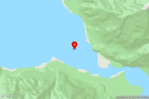
Te Hapua / Sutherland Sound (Maori Name: Te Hāpua / Sutherland Sound)Te Hapua / Sutherland Sound Area Map (Street)
Local Authority
Southland DistrictFull Address
Te Hapua / Sutherland Sound, Southland District, New ZealandAddress Type
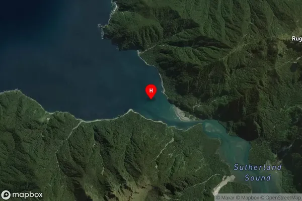
Coastal BayTe Hapua / Sutherland Sound Suburb Map (Satellite)
Country
Main Region in AU
SouthlandTe Hapua / Sutherland Sound Region Map

Coordinates
-44.733767,167.576953 (latitude/longitude)Distances
The distance from Te Hapua / Sutherland Sound, , Southland District to NZ Top 10 Cities