Sunshine Bay Area, Sunshine Bay Postcode(5013) & Map in Sunshine Bay
Sunshine Bay Area, Sunshine Bay Postcode(5013) & Map in Sunshine Bay, Area outside Territorial Authority, New Zealand
Sunshine Bay, Area outside Territorial Authority, New Zealand
Sunshine Bay Postcodes
Sunshine Bay Area (estimated)
0.8 square kilometersSunshine Bay Population (estimated)
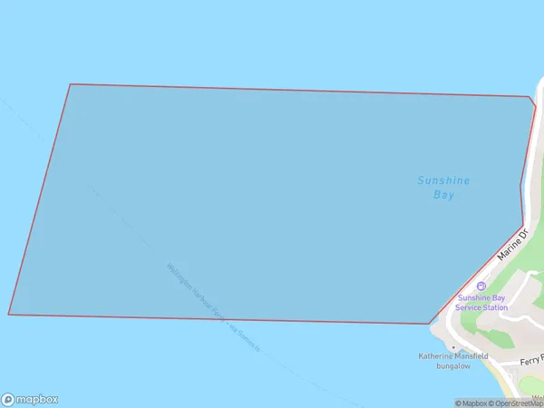
0 people live in Sunshine Bay, Lower Hutt, NZSunshine Bay Suburb Area Map (Polygon)
Sunshine Bay Introduction
Sunshine Bay is a popular beach located in the eastern suburbs of Wellington, New Zealand. It is known for its wide sandy beach, stunning coastal views, and vibrant community. The beach is a popular spot for swimming, sunbathing, and watersports such as surfing and kayaking. There are also several restaurants and cafes nearby, making it a convenient place to spend a day or weekend.Region
Major City
Suburb Name
Sunshine BayOther Name(s)
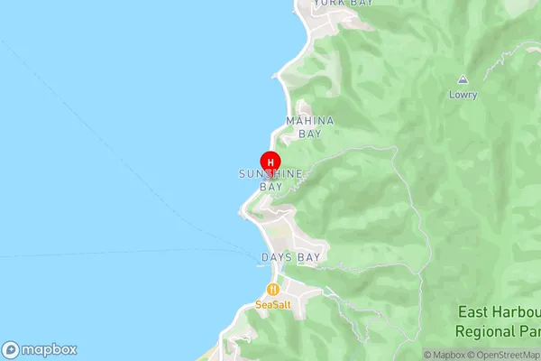
Wellington Harbour / Port Nicholson, Cook StraitSunshine Bay Area Map (Street)
Local Authority
Area outside Territorial AuthorityFull Address
Sunshine Bay, Area outside Territorial Authority, New ZealandAddress Type
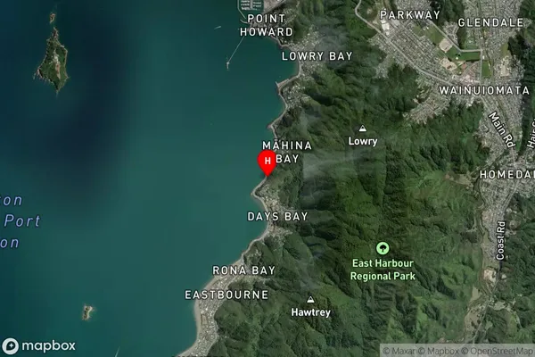
Coastal BaySunshine Bay Suburb Map (Satellite)
Country
Main Region in AU
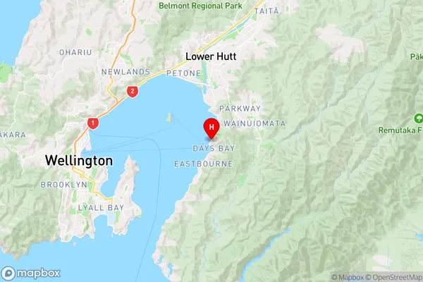
WellingtonSunshine Bay Region Map
Coordinates
-41.2745178,174.9063512 (latitude/longitude)Distances
The distance from Sunshine Bay, , Area outside Territorial Authority to NZ Top 10 Cities