Steamboat Bay Area, Steamboat Bay Postcode(7193) & Map in Steamboat Bay
Steamboat Bay Area, Steamboat Bay Postcode(7193) & Map in Steamboat Bay, Marlborough District, New Zealand
Steamboat Bay, Marlborough District, New Zealand
Steamboat Bay Postcodes
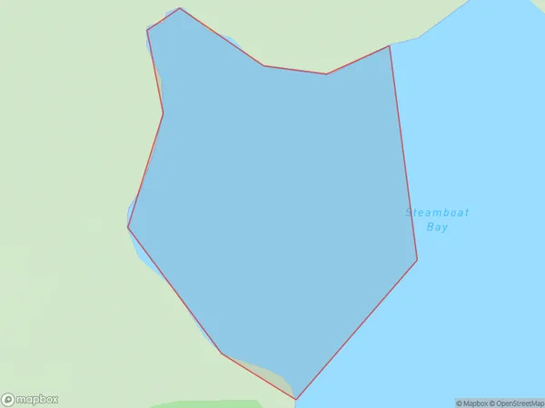
Steamboat Bay Area (estimated)
0.2 square kilometersSteamboat Bay Population (estimated)
0 people live in Steamboat Bay, Marlborough, NZSteamboat Bay Suburb Area Map (Polygon)
Steamboat Bay Introduction
Steamboat Bay is a picturesque and peaceful bay located in Marlborough, New Zealand. It is known for its stunning turquoise waters, surrounded by lush green hills and vineyards. The bay is a popular spot for boating, fishing, and swimming, and it is home to a small community of residents. The bay has a rich history, with early European settlers arriving in the area in the 18th century. It was named after the steamboats that used to ply the waters between Blenheim and Nelson. Today, Steamboat Bay is a popular tourist destination and a protected area, with many scenic walks and trails offering breathtaking views of the bay and its surroundings.Region
Suburb Name
Steamboat BayOther Name(s)
Waitata Bay, Waitata Reach (Maori Name: Waitātā Bay, Waitātā Reach)Steamboat Bay Area Map (Street)
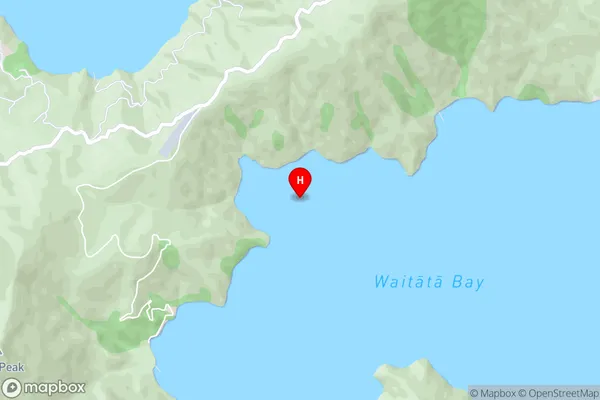
Local Authority
Marlborough DistrictFull Address
Steamboat Bay, Marlborough District, New ZealandAddress Type
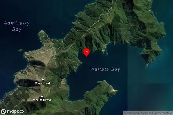
Coastal BaySteamboat Bay Suburb Map (Satellite)
Country
Main Region in AU
MarlboroughSteamboat Bay Region Map

Coordinates
-40.9682134,173.9113946 (latitude/longitude)Distances
The distance from Steamboat Bay, , Marlborough District to NZ Top 10 Cities