Stafford Bay Area, Stafford Bay Postcode & Map in Stafford Bay
Stafford Bay Area, Stafford Bay Postcode & Map in Stafford Bay, Area outside Territorial Authority, New Zealand
Stafford Bay, Area outside Territorial Authority, New Zealand
Stafford Bay Area (estimated)
0.4 square kilometersStafford Bay Population (estimated)
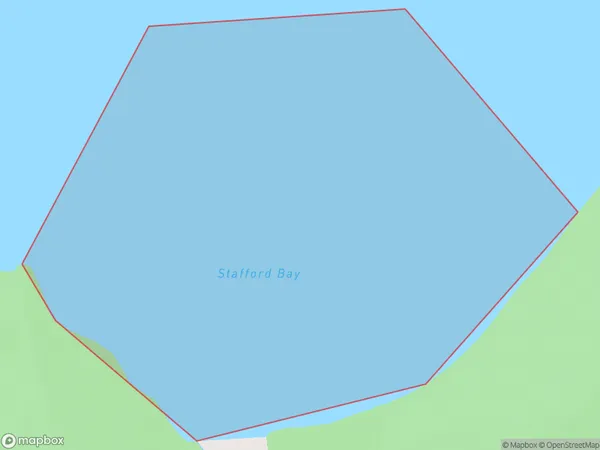
0 people live in Stafford Bay, West Coast, NZStafford Bay Suburb Area Map (Polygon)
Stafford Bay Introduction
Stafford Bay is a small, sheltered bay on the West Coast of New Zealand's South Island. It is located near the town of Hokitika and is known for its clear waters, sandy beaches, and stunning coastal scenery. The bay is a popular spot for swimming, kayaking, and fishing, and is home to a variety of wildlife, including seals, dolphins, and penguins.Region
Suburb Name
Stafford BayStafford Bay Area Map (Street)
Local Authority
Area outside Territorial AuthorityFull Address
Stafford Bay, Area outside Territorial Authority, New ZealandAddress Type
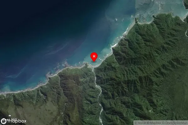
Coastal BayStafford Bay Suburb Map (Satellite)
Country
Main Region in AU
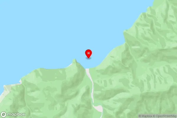
West CoastStafford Bay Region Map

Coordinates
-43.99187,168.5450155 (latitude/longitude)Distances
The distance from Stafford Bay, , Area outside Territorial Authority to NZ Top 10 Cities