Lindis Valley Area, Lindis Valley Postcode & Map in Lindis Valley
Lindis Valley Area, Lindis Valley Postcode & Map in Lindis Valley, Central Otago District, New Zealand
Lindis Valley, Central Otago District, New Zealand
Lindis Valley Area (estimated)
331.0 square kilometersLindis Valley Population (estimated)
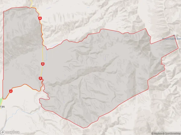
32 people live in Lindis Valley, Otago, NZLindis Valley Suburb Area Map (Polygon)
Lindis Valley Introduction
Lindis Valley is a picturesque rural area located in the southern region of Otago, New Zealand. It is known for its stunning landscapes, including rolling hills, lush green valleys, and picturesque rivers. The area is home to a variety of wildlife, including deer, rabbits, and mountain goats. Lindis Valley is also a popular destination for outdoor activities such as hiking, skiing, and fishing. The region is surrounded by stunning mountain ranges, including the Southern Alps and the Mount Aspiring National Park.Region
Major City
Suburb Name
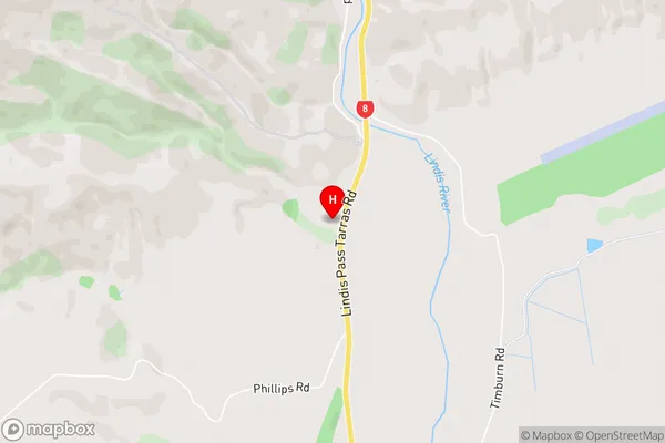
Lindis ValleyLindis Valley Area Map (Street)
Local Authority
Central Otago DistrictFull Address
Lindis Valley, Central Otago District, New ZealandAddress Type
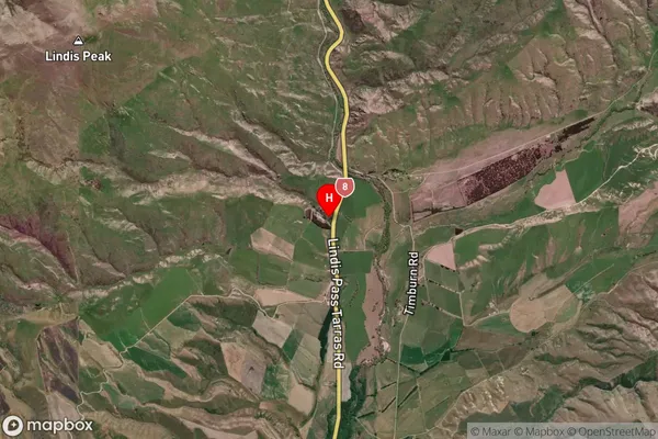
Locality in Town CromwellLindis Valley Suburb Map (Satellite)
Country
Main Region in AU
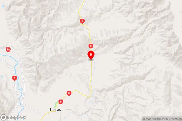
OtagoLindis Valley Region Map
Coordinates
-44.7534534,169.5070696 (latitude/longitude)Distances
The distance from Lindis Valley, Cromwell, Central Otago District to NZ Top 10 Cities