South Arm Area, South Arm Postcode(9643) & Map in South Arm
South Arm Area, South Arm Postcode(9643) & Map in South Arm, Southland District, New Zealand
South Arm, Southland District, New Zealand
South Arm Postcodes
South Arm Area (estimated)
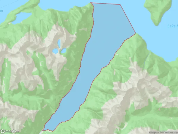
20.9 square kilometersSouth Arm Population (estimated)
0 people live in South Arm, Southland, NZSouth Arm Suburb Area Map (Polygon)
South Arm Introduction
South Arm is a small township on the Southland coast of New Zealand. It is located 12 kilometers south of Lumsden and 20 kilometers north of Invercargill. The township was established in 1876 and named after the South Arm of the Lumsden River. The population of South Arm is around 300 people, and the area is known for its farming and forestry industries. The town has a primary school, a post office, a hotel, and a few small businesses.Region
Suburb Name
South ArmOther Name(s)
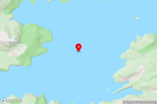
Lake ManapouriSouth Arm Area Map (Street)
Local Authority
Southland DistrictFull Address
South Arm, Southland District, New ZealandAddress Type
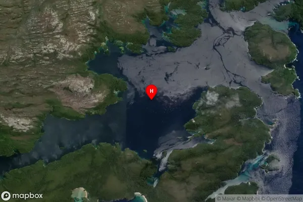
Inland BaySouth Arm Suburb Map (Satellite)
Country
Main Region in AU
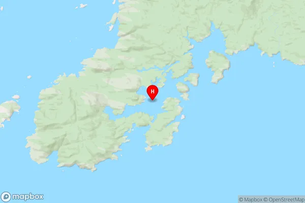
SouthlandSouth Arm Region Map
Coordinates
-47.2250557,167.6195165 (latitude/longitude)Distances
The distance from South Arm, , Southland District to NZ Top 10 Cities