Limehills Area, Limehills Postcode & Map in Limehills
Limehills Area, Limehills Postcode & Map in Limehills, Southland District, New Zealand
Limehills, Southland District, New Zealand
Limehills Area (estimated)
3.7 square kilometersLimehills Population (estimated)
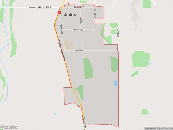
111 people live in Limehills, Oreti Community, NZLimehills Suburb Area Map (Polygon)
Limehills Introduction
Limehills is a small rural community in Southland, New Zealand, located on the banks of the Winton River. It is known for its scenic surroundings, including rolling hills, lush green fields, and picturesque gardens. The community has a primary school, a post office, a convenience store, and a few small businesses. Limehills is a popular destination for outdoor enthusiasts, with numerous hiking and biking trails nearby. The area is also home to a number of historic buildings, including the Limehills School and the Old Limehills Church.Region
Major City
Suburb Name
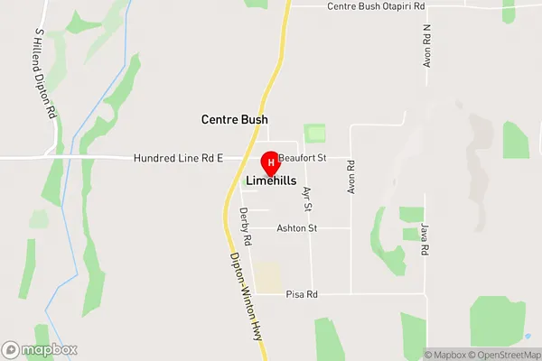
LimehillsLimehills Area Map (Street)
Local Authority
Southland DistrictFull Address
Limehills, Southland District, New ZealandAddress Type
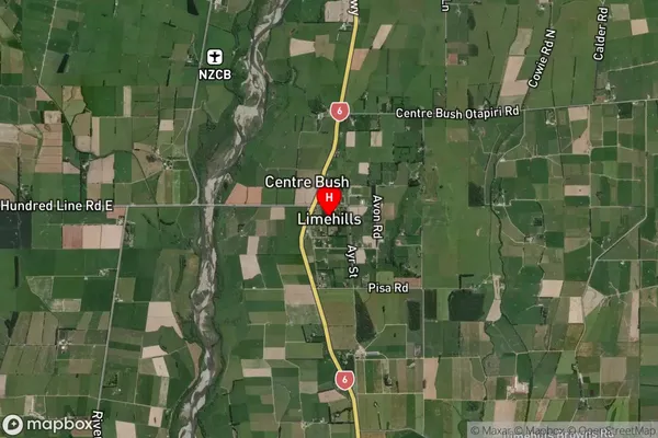
Locality in Town WintonLimehills Suburb Map (Satellite)
Country
Main Region in AU
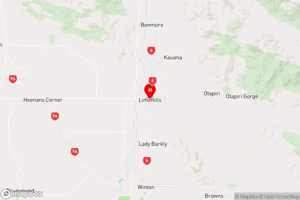
SouthlandLimehills Region Map
Coordinates
-46.0583993,168.3296911 (latitude/longitude)Distances
The distance from Limehills, Winton, Southland District to NZ Top 10 Cities