Shoal Cove Area, Shoal Cove Postcode & Map in Shoal Cove
Shoal Cove Area, Shoal Cove Postcode & Map in Shoal Cove, Southland District,
Shoal Cove, Southland District,
Shoal Cove Area (estimated)
1.2 square kilometersShoal Cove Population (estimated)
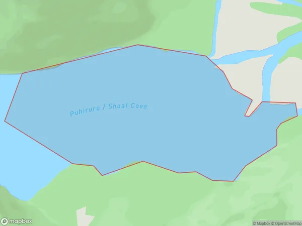
0 people live in Shoal Cove, Brighton, NZShoal Cove Suburb Area Map (Polygon)
Shoal Cove Introduction
Shoal Cove is a small, peaceful beach located in the southern region of New Zealand's Otago Peninsula. It is known for its stunning natural beauty, including rugged cliffs, crystal-clear waters, and a variety of marine life. The beach is a popular spot for swimming, kayaking, and fishing, and it is surrounded by picturesque countryside and stunning views of the Southern Alps.Region
Major City
Suburb Name
Shoal CoveOther Name(s)
Gaer Arm, Kaikiekie / Bradshaw SoundShoal Cove Area Map (Street)
Local Authority
Southland DistrictFull Address
Shoal Cove, Southland District,Address Type
Coastal BayShoal Cove Suburb Map (Satellite)
Country
Main Region in AU
OtagoShoal Cove Region Map
Coordinates
0,0 (latitude/longitude)Distances
The distance from Shoal Cove, , Southland District to NZ Top 10 Cities