Te Kohanga / Shipwreck Bay Area, Te Kohanga / Shipwreck Bay Postcode(0481) & Map in Te Kohanga / Shipwreck Bay
Te Kohanga / Shipwreck Bay Area, Te Kohanga / Shipwreck Bay Postcode(0481) & Map in Te Kohanga / Shipwreck Bay, Area outside Territorial Authority, New Zealand
Te Kohanga / Shipwreck Bay, Area outside Territorial Authority, New Zealand
Te Kohanga / Shipwreck Bay Postcodes
Te Kohanga / Shipwreck Bay Area (estimated)
0.2 square kilometersTe Kohanga / Shipwreck Bay Population (estimated)
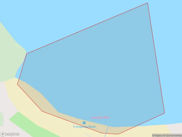
0 people live in Te Kohanga / Shipwreck Bay, Northland, NZTe Kohanga / Shipwreck Bay Suburb Area Map (Polygon)

Te Kohanga / Shipwreck Bay Introduction
Te Kohanga / Shipwreck Bay is a picturesque beach located in Northland, New Zealand. It is known for its stunning natural beauty, including rugged cliffs, crystal-clear waters, and a rich marine ecosystem. The bay is also home to several historic shipwrecks, including the SS Yongala, which sank in 1915 and is a popular diving destination. Visitors can explore the shipwrecks, swim, sunbathe, and hike in the surrounding area.Region
Suburb Name
Te Kohanga / Shipwreck Bay (Maori Name: Te Kōhanga / Shipwreck Bay)Other Name(s)
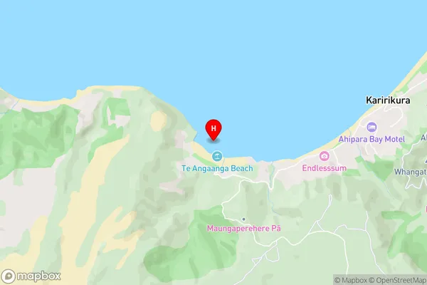
Ahipara BayTe Kohanga / Shipwreck Bay Area Map (Street)

Local Authority
Area outside Territorial AuthorityFull Address
Te Kohanga / Shipwreck Bay, Area outside Territorial Authority, New ZealandAddress Type
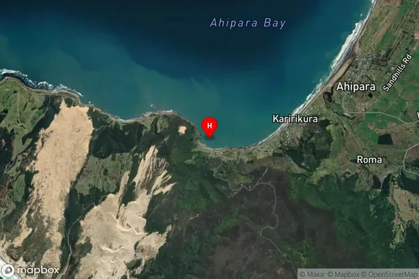
Coastal BayTe Kohanga / Shipwreck Bay Suburb Map (Satellite)

Country
Main Region in AU
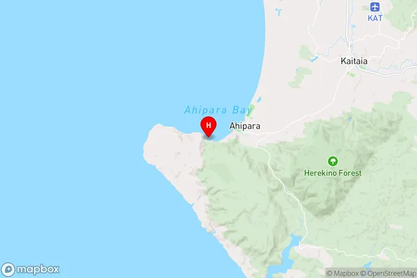
NorthlandTe Kohanga / Shipwreck Bay Region Map

Coordinates
-35.1771003,173.1202259 (latitude/longitude)Distances
The distance from Te Kohanga / Shipwreck Bay, , Area outside Territorial Authority to NZ Top 10 Cities