Sheltered Bay Area, Sheltered Bay Postcode & Map in Sheltered Bay
Sheltered Bay Area, Sheltered Bay Postcode & Map in Sheltered Bay, Area outside Territorial Authority, New Zealand
Sheltered Bay, Area outside Territorial Authority, New Zealand
Sheltered Bay Area (estimated)
0.1 square kilometersSheltered Bay Population (estimated)
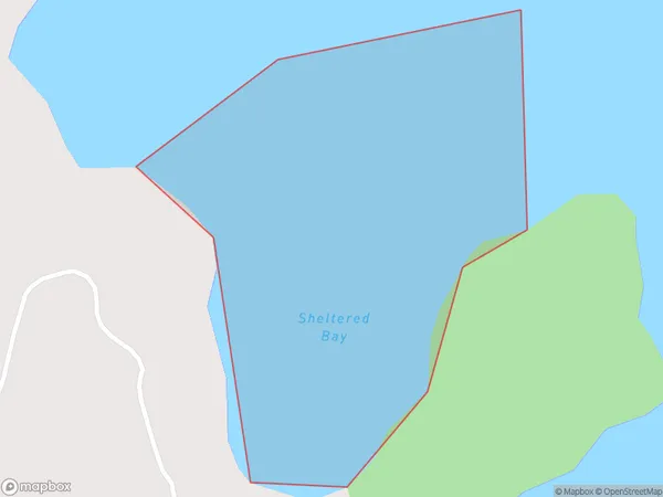
0 people live in Sheltered Bay, Northland, NZSheltered Bay Suburb Area Map (Polygon)
Sheltered Bay Introduction
Sheltered Bay is a picturesque beach located in the Bay of Islands, Northland, New Zealand. It is known for its crystal-clear waters, white sand, and stunning coastal scenery. The bay is a popular spot for swimming, snorkeling, and kayaking, and it is surrounded by lush tropical forests and picturesque hills. The bay has a peaceful and serene atmosphere, and it is an ideal place to relax and unwind.Region
Suburb Name
Sheltered BayOther Name(s)
Sandy BaySheltered Bay Area Map (Street)

Local Authority
Area outside Territorial AuthorityFull Address
Sheltered Bay, Area outside Territorial Authority, New ZealandAddress Type
Coastal BaySheltered Bay Suburb Map (Satellite)

Country
Main Region in AU
NorthlandSheltered Bay Region Map

Coordinates
-35.53688155,174.476153252107 (latitude/longitude)Distances
The distance from Sheltered Bay, , Area outside Territorial Authority to NZ Top 10 Cities