Shelly Bay Area, Shelly Bay Postcode(2018) & Map in Shelly Bay
Shelly Bay Area, Shelly Bay Postcode(2018) & Map in Shelly Bay, Auckland, New Zealand
Shelly Bay, Auckland, New Zealand
Shelly Bay Postcodes
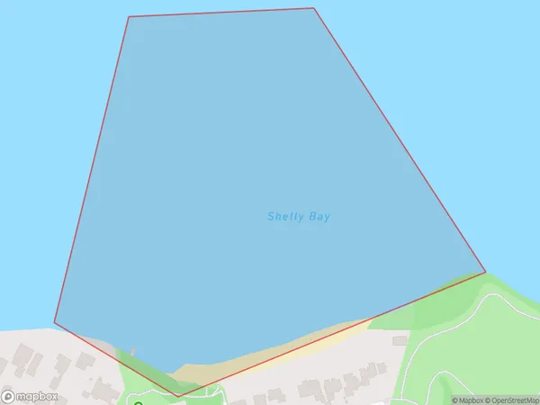
Shelly Bay Area (estimated)
0.1 square kilometersShelly Bay Population (estimated)
0 people live in Shelly Bay, Franklin, NZShelly Bay Suburb Area Map (Polygon)
Shelly Bay Introduction
Shelly Bay is a suburb of Auckland, New Zealand. It is located on the Hibiscus Coast, just east of Orewa. The area is known for its beautiful beaches, lush gardens, and peaceful atmosphere. Shelly Bay has a population of around 10,000 people and is a popular destination for tourists and locals alike. The suburb is surrounded by stunning natural scenery, including the Hibiscus Coast Forest Park and the Tawharanui Regional Park.Region
Major City
Suburb Name
Shelly BayOther Name(s)
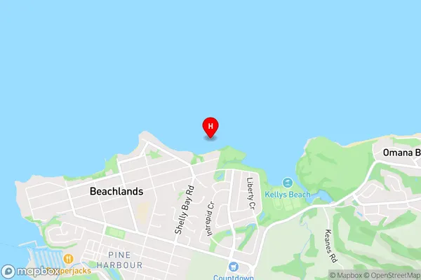
Hauraki GulfShelly Bay Area Map (Street)
Local Authority
AucklandFull Address
Shelly Bay, Auckland, New ZealandAddress Type
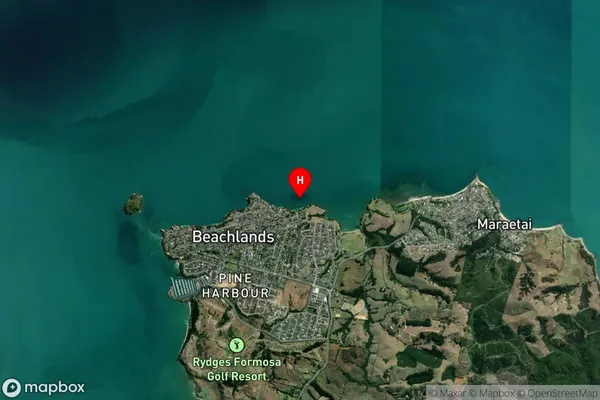
Coastal BayShelly Bay Suburb Map (Satellite)
Country
Main Region in AU
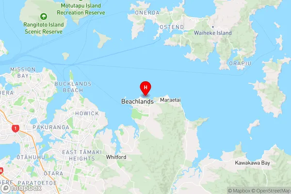
AucklandShelly Bay Region Map
Coordinates
-36.8774348,175.0075559 (latitude/longitude)Distances
The distance from Shelly Bay, , Auckland to NZ Top 10 Cities