Shand Bay Area, Shand Bay Postcode & Map in Shand Bay
Shand Bay Area, Shand Bay Postcode & Map in Shand Bay, Southland District, New Zealand
Shand Bay, Southland District, New Zealand
Shand Bay Area (estimated)
0.3 square kilometersShand Bay Population (estimated)
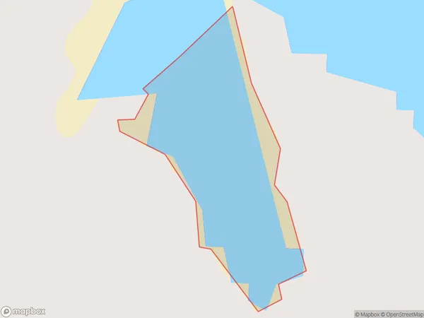
0 people live in Shand Bay, Waihopai Toetoe Community, NZShand Bay Suburb Area Map (Polygon)
Shand Bay Introduction
Shand Bay is a small, peaceful bay located in Southland, New Zealand. It is surrounded by stunning natural scenery, including mountains, forests, and rivers, and is a popular spot for fishing, kayaking, and hiking. The bay is also home to a small community of people who live in the surrounding area.Region
Major City
Suburb Name
Shand BayOther Name(s)
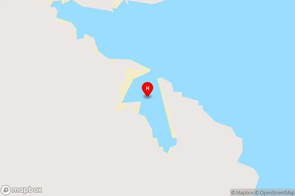
Waituna LagoonShand Bay Area Map (Street)
Local Authority
Southland DistrictFull Address
Shand Bay, Southland District, New ZealandAddress Type
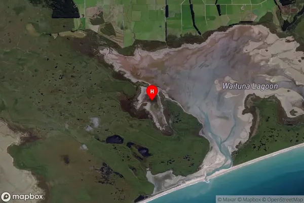
Inland BayShand Bay Suburb Map (Satellite)
Country
Main Region in AU
SouthlandShand Bay Region Map

Coordinates
-46.570538,168.565616 (latitude/longitude)Distances
The distance from Shand Bay, , Southland District to NZ Top 10 Cities