Shallow Bay Area, Shallow Bay Postcode(9643) & Map in Shallow Bay
Shallow Bay Area, Shallow Bay Postcode(9643) & Map in Shallow Bay, Southland District, New Zealand
Shallow Bay, Southland District, New Zealand
Shallow Bay Postcodes
Shallow Bay Area (estimated)
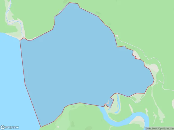
5.1 square kilometersShallow Bay Population (estimated)
0 people live in Shallow Bay, Tuatapere Te Waewae Community, NZShallow Bay Suburb Area Map (Polygon)
Shallow Bay Introduction
Shallow Bay is a small, sheltered bay located in Fiordland National Park in Southland, New Zealand. It is known for its clear waters, stunning coastal scenery, and diverse marine life, including penguins and seals. The bay is accessible via a short walk from the parking area and is popular with tourists and outdoor enthusiasts alike.Region
Major City
Suburb Name
Shallow BayOther Name(s)
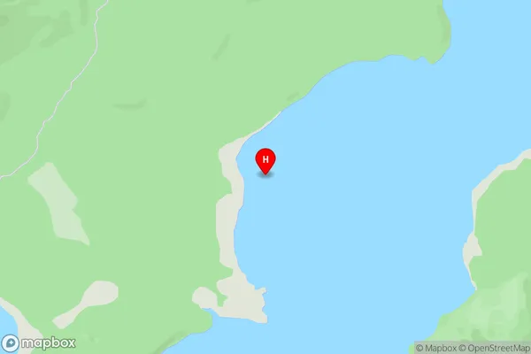
Lake ManapouriShallow Bay Area Map (Street)
Local Authority
Southland DistrictFull Address
Shallow Bay, Southland District, New ZealandAddress Type
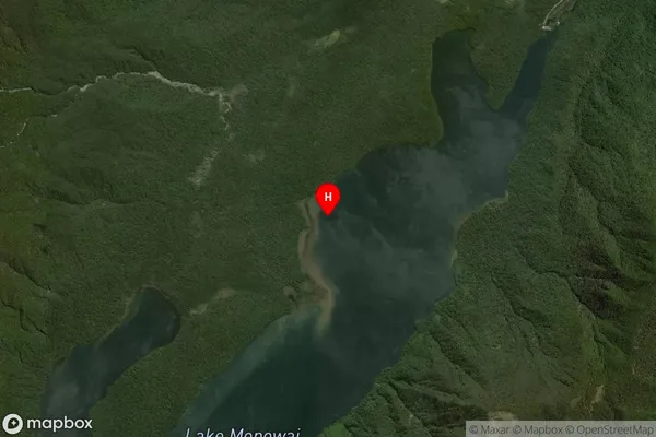
Inland BayShallow Bay Suburb Map (Satellite)
Country
Main Region in AU
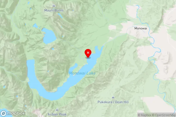
SouthlandShallow Bay Region Map
Coordinates
-45.832333,167.487861 (latitude/longitude)Distances
The distance from Shallow Bay, , Southland District to NZ Top 10 Cities