Shag Harbour Area, Shag Harbour Postcode & Map in Shag Harbour
Shag Harbour Area, Shag Harbour Postcode & Map in Shag Harbour, Tasman District, New Zealand
Shag Harbour, Tasman District, New Zealand
Shag Harbour Area (estimated)
0.1 square kilometersShag Harbour Population (estimated)
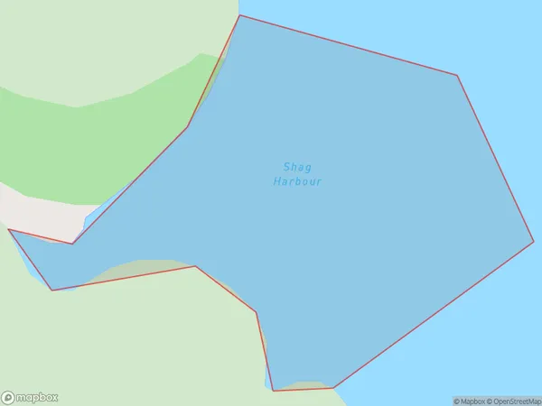
0 people live in Shag Harbour, Tasman, NZShag Harbour Suburb Area Map (Polygon)
Shag Harbour Introduction
Shag Harbour is a small coastal settlement located in the Tasman District of New Zealand's South Island. It is known for its picturesque harbor and surrounding natural beauty, including the Shag Harbour Conservation Area and the Shag Harbour Peaks. The area is popular with tourists and outdoor enthusiasts for hiking, fishing, and kayaking. Shag Harbour is also home to a small community of artists and craftspeople who work in various mediums, including pottery, painting, and sculpture.Region
Suburb Name
Shag HarbourOther Name(s)
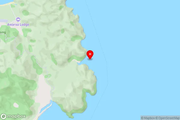
Tasman BayShag Harbour Area Map (Street)
Local Authority
Tasman DistrictFull Address
Shag Harbour, Tasman District, New ZealandAddress Type
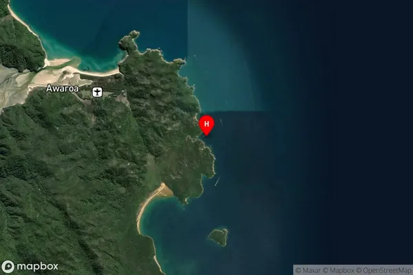
Coastal BayShag Harbour Suburb Map (Satellite)
Country
Main Region in AU
TasmanShag Harbour Region Map

Coordinates
-40.8714594,173.0636204 (latitude/longitude)Distances
The distance from Shag Harbour, , Tasman District to NZ Top 10 Cities