Scrubby Bay Area, Scrubby Bay Postcode & Map in Scrubby Bay
Scrubby Bay Area, Scrubby Bay Postcode & Map in Scrubby Bay, Area outside Territorial Authority, New Zealand
Scrubby Bay, Area outside Territorial Authority, New Zealand
Scrubby Bay Area (estimated)
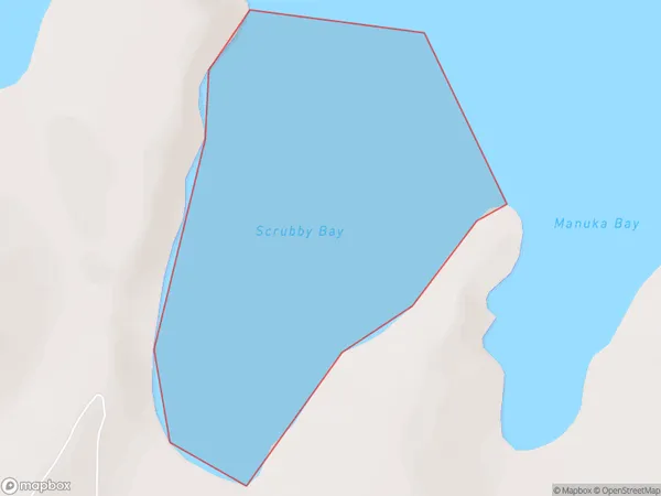
0.4 square kilometersScrubby Bay Population (estimated)
0 people live in Scrubby Bay, Canterbury, NZScrubby Bay Suburb Area Map (Polygon)
Scrubby Bay Introduction
Scrubby Bay is a small bay and beach located in the Canterbury region of New Zealand. It is known for its rugged coastline, scenic views, and diverse marine life. The bay is a popular spot for fishing, kayaking, and beachcombing, and is home to a small community of residents. The area is also known for its archaeological significance, with several ancient sites located nearby.Region
Suburb Name
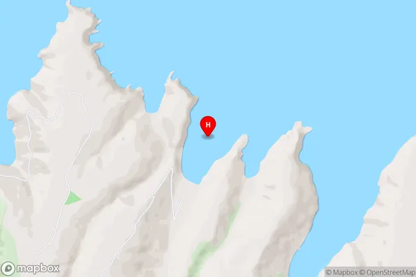
Scrubby BayScrubby Bay Area Map (Street)
Local Authority
Area outside Territorial AuthorityFull Address
Scrubby Bay, Area outside Territorial Authority, New ZealandAddress Type
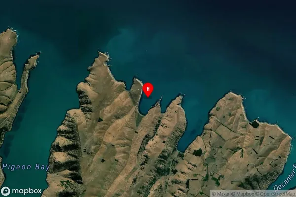
Coastal BayScrubby Bay Suburb Map (Satellite)
Country
Main Region in AU
CanterburyScrubby Bay Region Map

Coordinates
-43.6347125,172.9492074 (latitude/longitude)Distances
The distance from Scrubby Bay, , Area outside Territorial Authority to NZ Top 10 Cities